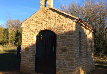
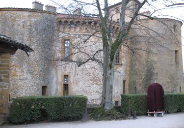
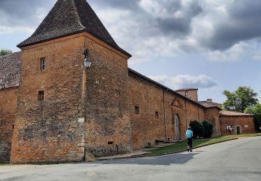
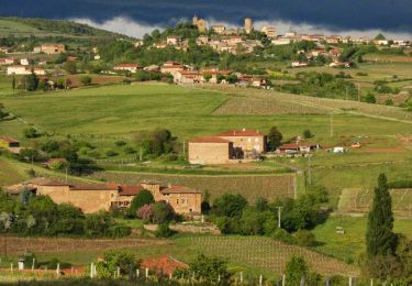
Trail Walking Bagnols - Bagnols (rando. village) 16 km - D. 383 m) du 28/04/2019 - Photo

Bagnols (rando. village) 16 km - D. 383 m) du 28/04/2019

© OpenStreetMap contributors
Length
Length
15.8 km
Max alt
Max alt
526 m
Uphill gradient
Uphill gradient
381 m
Km-Effort
Km-Effort  
21 km
Min alt
Min alt
289 m
Downhill gradient
Downhill gradient
383 m
Boucle
Boucle
Yes
Creation date :
2019-04-28 08:19:12.0
Updated on :
2022-05-27 08:44:44.293

(0 Reviews)

Walking
Walking
4h19
Difficulty : Medium

Scan this QR Code to open this trail in the SityTrail application

FREE GPS app for hiking

Logo SityTrail SityTrail

IGN / Geographical institutes

Download SityTrail from the App Store Download SityTrail from Google Play

Logo SityTrail SityTrail World

The world is yours!

Download SityTrail from the App Store Download SityTrail from Google Play Download SityTrail on Huawei AppGallery

About

Trail Walking of 15.8 km to be discovered at Auvergne-Rhône-Alpes, Rhône, Bagnols. This trail is proposed by Thomasdanielle.

Description

DA parking mairie : 5 euros la randonnée avec 2 relais sur le parcours  TRES DECEVANTS, je ne recommande pas cette randonnée village, c'est la première fois que nous voyons des relais avec aussi peu de choses à grignoter.
- 1er relai : 1 tranche de 4x4   1 morceau de chocolat   2 petits morceaux de pâte de fruit
- 2ème relai : chez un viticulteur,  pour  faire déguster son vin et le vendre accompagné de  3 ou 4 morceaux de saucisson et un peu de chips.
Des vendeurs, de pains spéciaux et viennoiseries  et  des fromage, miel etc.. étaient là  pour  vous  vendre leur marchandises. Un conseil l'année prochaine  n'allez pas à Bagnols  ou apporter votre repas.
Sinon les sentiers sont bien balisés, rien à dire à ce sujet.

Elevation profile

Photos

Positioning

Country:
France
Region :
Auvergne-Rhône-Alpes
Department/Province :
Rhône
Municipality :
Bagnols
Location:
Unknown
Start:(UTM)
624631 ; 5086096 (31T) N.

Trails nearby

Trail Walking Val d'Oingt - Oingt (69) Beaujolais  - Photo
Walking
Thomasdanielle

Walking

Very easy
(1)
Val d'Oingt, Auvergne-Rhône-Alpes, Rhône, France
9.3 km | 13.3 km-effort
2h 30min
Yes
Trail On foot Légny - De Saint Vérand à Bagnols - Photo
On foot
GUIDE+

On foot

Easy
Légny, Auvergne-Rhône-Alpes, Rhône, France
7.4 km | 10.3 km-effort
2h 20min
No
Trail Nordic walking Bagnols - bagnol - Photo
Nordic walking
isabelle.xavier

Nordic walking

Very easy
(1)
Bagnols, Auvergne-Rhône-Alpes, Rhône, France
6.8 km | 8.4 km-effort
1h 40min
Yes
Trail Electric bike Val d'Oingt - tour dans le beaujolais Oingt - Salles sur Arbuissonnas - Photo
Electric bike
cailloux54

Electric bike

Medium
(1)
Val d'Oingt, Auvergne-Rhône-Alpes, Rhône, France
52 km | 68 km-effort
5h 44min
Yes
Trail Walking Sainte-Paule - Sainte-Paule (13,4 km D. 485 m) - Photo
Walking
Thomasdanielle

Walking

Medium
(1)
Sainte-Paule, Auvergne-Rhône-Alpes, Rhône, France
13.4 km | 19.4 km-effort
4h 9min
Yes
Trail Walking Val d'Oingt - 69620-StLo-160412-Azergues+Genetière+Berthier - Photo
Walking
adye

Walking

Easy
(2)
Val d'Oingt, Auvergne-Rhône-Alpes, Rhône, France
5.2 km | 7.1 km-effort
1h 38min
Yes
Trail Walking Chessy - Chessy 11 km - Photo
Walking
daniellebou

Walking

Difficult
(1)
Chessy, Auvergne-Rhône-Alpes, Rhône, France
11.5 km | 14.9 km-effort
3h 23min
Yes
Trail Walking Chessy - Chessy à Bagnols - Photo
Walking
Jean-Marc C

Walking

Difficult
(1)
Chessy, Auvergne-Rhône-Alpes, Rhône, France
12.5 km | 15.8 km-effort
3h 35min
Yes
Trail Walking Val d'Oingt - Saint-Laurent d'Oingt - Oingt, Plus beau Village de France - Photo
Walking
adye

Walking

Difficult
Val d'Oingt, Auvergne-Rhône-Alpes, Rhône, France
8.8 km | 12.5 km-effort
2h 20min
Yes


Close
My subscriptions