


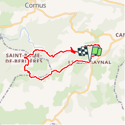

13.4 km | 19 km-effort

La marche dans les monts d'Orb, le Caroux, et dans l'Hérault et l'aveyron


FREE GPS app for hiking
 SityTrail
IGN / Geographical institutes
SityTrail World
The world is yours!
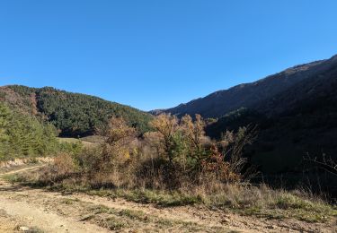
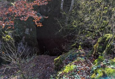
Trail Walking of 13.4 km to be discovered at Occitania, Aveyron, Cornus. This trail is proposed by Groupe de marche du Recantou.
Randonnée du mas Raynal a St Rome de Bélieres

Walking
Walking

On foot
Walking
Walking
Walking

Walking
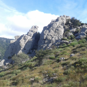
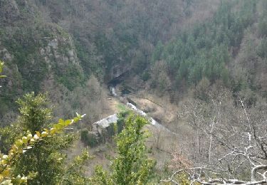
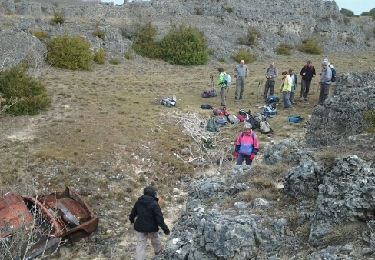
Très beau parcours