


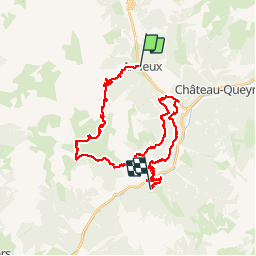

11.7 km | 19.7 km-effort


User


FREE GPS app for hiking
 SityTrail
IGN / Geographical institutes
SityTrail World
The world is yours!
Trail Mountain bike of 36 km to be discovered at Provence-Alpes-Côte d'Azur, Hautes-Alpes, Arvieux. This trail is proposed by pierrot.duc.
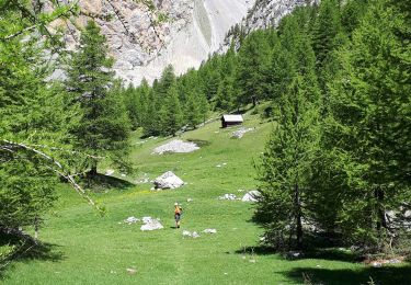
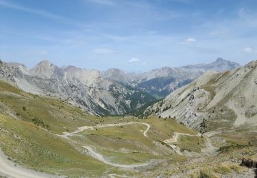
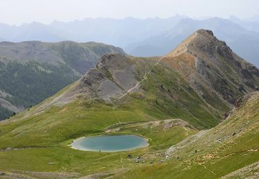
Jour 1. La flèche à la sortie du village d'Arvieux indique "Furfande". 10 km de montée pour 1000m de dénivelé. Au col on prend le sentier qui fait le tour de l'alpage, par les chalets des granges. Plus bas, on laisse le sentier du col Garnier à D pour passer juste au dessus des chalets de Furfande, puis on remonte au bord du ravin jusqu'au col de la Lauze, sentier délicat en balcon. Rejoindre Villargaudin par le GR58 et l'Ecomusée. Après 400m de RN tourner à D pour rejoindre les Escoyères par le GR58 puis 28 lacets sur la petite route. A D descendre 400m la route des gorges du Guil, passer le pont direction Bramousse en restant sur la route (vous remarquez les fours à pain).

Walking
Via ferrata

Mountain bike
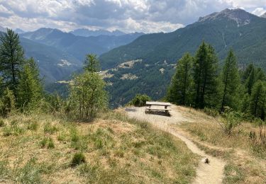
Walking

Other activity
Walking
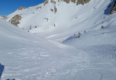
Snowshoes
Walking
Walking
Extra