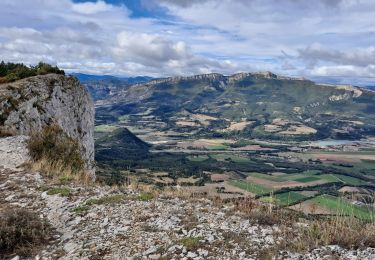
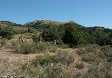
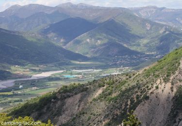
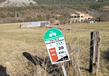
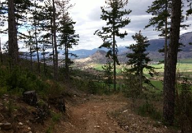
12.1 km | 21 km-effort
Tour du Pic de l 'Aigle
claude nier
User
Length
8.6 km
Max alt
991 m
Uphill gradient
338 m
Km-Effort
13.2 km
Min alt
715 m
Downhill gradient
366 m
Boucle
No
Creation date :
2019-04-22 08:08:23.374
Updated on :
2019-04-22 14:58:05.735
3h59
Difficulty : Medium
FREE GPS app for hiking
About
Trail Walking of 8.6 km to be discovered at Provence-Alpes-Côte d'Azur, Hautes-Alpes, Savournon. This trail is proposed by claude nier.
Description
reco Aline et moi
connaissance Michele et Annie Embrun
Positioning
Country:
France
Region :
Provence-Alpes-Côte d'Azur
Department/Province :
Hautes-Alpes
Municipality :
Savournon
Location:
Unknown
Start:(Dec)
Start:(UTM)
721780 ; 4922435 (31T) N.
Comments
Trails nearby
Revuaire
On foot
Difficult
Garde-Colombe,
Provence-Alpes-Côte d'Azur,
Hautes-Alpes,
France
4h 42min
Yes
R36 - Aujour depuis Clausonne
Walking
Difficult
Le Saix,
Provence-Alpes-Côte d'Azur,
Hautes-Alpes,
France
11.9 km | 22 km-effort
4h 27min
Yes
R33 La Montagne de Saint Genis
Walking
Medium
Garde-Colombe,
Provence-Alpes-Côte d'Azur,
Hautes-Alpes,
France
11.4 km | 19.4 km-effort
3h 59min
Yes
Reco Jubeo + 250
Walking
Medium
Savournon,
Provence-Alpes-Côte d'Azur,
Hautes-Alpes,
France
10 km | 13.3 km-effort
3h 4min
Yes
Le réduire.. gorge du riou
Walking
Medium
Garde-Colombe,
Provence-Alpes-Côte d'Azur,
Hautes-Alpes,
France
12.1 km | 21 km-effort
5h 3min
Yes
col de Chaumianne
Road bike
Very easy
La Bâtie-Montsaléon,
Provence-Alpes-Côte d'Azur,
Hautes-Alpes,
France
10.2 km | 11.8 km-effort
1h 22min
Yes
Cime du Revuaire-Grotte de Jubeo.
Walking
Easy
Savournon,
Provence-Alpes-Côte d'Azur,
Hautes-Alpes,
France
4.7 km | 10.5 km-effort
2h 29min
Yes
St Génis : crêtes de Revuaire et gorges du Riou
Walking
Medium
Garde-Colombe,
Provence-Alpes-Côte d'Azur,
Hautes-Alpes,
France
13 km | 22 km-effort
4h 10min
Yes
Jubeo - grand tour 2012
Walking
Very easy
Savournon,
Provence-Alpes-Côte d'Azur,
Hautes-Alpes,
France
18.4 km | 26 km-effort
3h 32min
Yes