


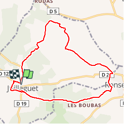

8.4 km | 10 km-effort


User


FREE GPS app for hiking
 SityTrail
IGN / Geographical institutes
SityTrail World
The world is yours!
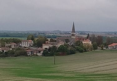
Trail Walking of 9.3 km to be discovered at New Aquitaine, Charente, Boisné-la-Tude. This trail is proposed by dorcier.
Au départ du parking de la mairie de Juillaguet;
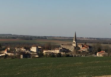
cette trace vous conduira dans la campagne vallonnée avec vue sur le château de La Mercerie et le village de Villebois-Lavalette.


Walking
Walking

Walking
Walking
Walking

Walking
Walking

Equestrian
Walking