
Juillaguet

dorcier
User

Length
9.3 km

Max alt
181 m

Uphill gradient
155 m

Km-Effort
11.4 km

Min alt
104 m

Downhill gradient
156 m
Boucle
Yes
Creation date :
2019-04-18 12:01:04.0
Updated on :
2019-04-26 14:18:15.821
2h25
Difficulty : Medium

FREE GPS app for hiking
About
Trail Walking of 9.3 km to be discovered at New Aquitaine, Charente, Boisné-la-Tude. This trail is proposed by dorcier.
Description
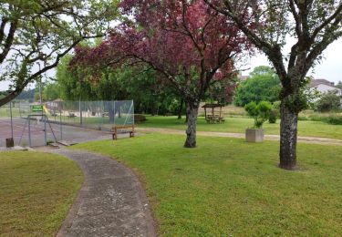
Au départ du parking de la mairie de Juillaguet;
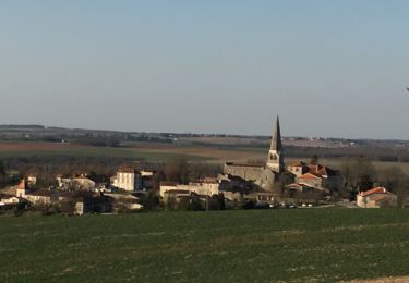
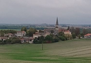
cette trace vous conduira dans la campagne vallonnée avec vue sur le château de La Mercerie et le village de Villebois-Lavalette.
Positioning
Country:
France
Region :
New Aquitaine
Department/Province :
Charente
Municipality :
Boisné-la-Tude
Location:
Unknown
Start:(Dec)
Start:(UTM)
282149 ; 5039624 (31T) N.
Comments
Trails nearby

La boucle de Ronsenac


Walking
Medium
(1)
Ronsenac,
New Aquitaine,
Charente,
France

8.4 km | 10 km-effort
2h 16min
Yes

Chavenat


Walking
Easy
Boisné-la-Tude,
New Aquitaine,
Charente,
France

8.1 km | 10.3 km-effort
2h 13min
Yes

ronsenac2103


Walking
Medium
Ronsenac,
New Aquitaine,
Charente,
France

6.9 km | 8.2 km-effort
2h 6min
Yes

Charmant


Walking
Medium
Boisné-la-Tude,
New Aquitaine,
Charente,
France

11.9 km | 15.1 km-effort
3h 14min
Yes

Charmant


Walking
Medium
Boisné-la-Tude,
New Aquitaine,
Charente,
France

6.8 km | 8.4 km-effort
1h 53min
Yes

CHAVENAT


Walking
Easy
Boisné-la-Tude,
New Aquitaine,
Charente,
France

10.1 km | 12.7 km-effort
2h 50min
Yes

Charmant à cheval à pied 14-09-2014


Walking
Easy
Boisné-la-Tude,
New Aquitaine,
Charente,
France

19.3 km | 22 km-effort
4h 50min
Yes

Charmant à cheval 13-09-2014


Equestrian
Easy
Boisné-la-Tude,
New Aquitaine,
Charente,
France

21 km | 27 km-effort
3h 25min
Yes

Juillaguet 2023


Walking
Medium
Ronsenac,
New Aquitaine,
Charente,
France

7.7 km | 9.3 km-effort
2h 4min
No


 SityTrail


