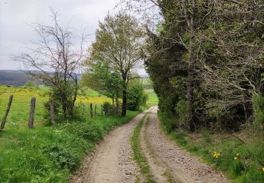
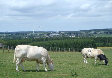
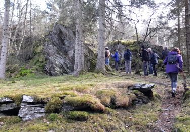
22 km | 26 km-effort
Vallée de l'Ourthe (GOUVY 20)
vedeka
User
Length
13.8 km
Max alt
496 m
Uphill gradient
340 m
Km-Effort
18.4 km
Min alt
387 m
Downhill gradient
340 m
Boucle
Yes
Creation date :
2019-04-19 12:19:44.959
Updated on :
2024-02-01 09:32:02.075
3h54
Difficulty : Difficult
FREE GPS app for hiking
About
Trail Walking of 13.8 km to be discovered at Wallonia, Luxembourg, Gouvy. This trail is proposed by vedeka.
Description
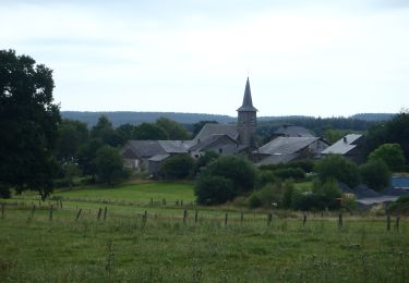
Départ : église de Cherain
Balisage : croix bleue
Positioning
Country:
Belgium
Region :
Wallonia
Department/Province :
Luxembourg
Municipality :
Gouvy
Location:
Unknown
Start:(Dec)
Start:(UTM)
704541 ; 5562648 (31U) N.
Comments
Trails nearby
15 juli 2012
Walking
Very easy
(1)
Gouvy,
Wallonia,
Luxembourg,
Belgium
5.1 km | 6.1 km-effort
1h 53min
Yes
Promenade vers la réserve naturelle "Chi Fontaine" - Gouvy
Walking
Easy
(5)
Gouvy,
Wallonia,
Luxembourg,
Belgium
4.4 km | 5.3 km-effort
1h 11min
Yes
Au fil de l'eau - Gouvy
Walking
Medium
(1)
Gouvy,
Wallonia,
Luxembourg,
Belgium
7.3 km | 9.6 km-effort
2h 11min
Yes
RB-Lu-29_Courtil_variante
Walking
Very difficult
(1)
Gouvy,
Wallonia,
Luxembourg,
Belgium
28 km | 34 km-effort
7h 47min
Yes
RB-Lu-29_Courtil_via-racc
Walking
Difficult
Gouvy,
Wallonia,
Luxembourg,
Belgium
15.3 km | 18.8 km-effort
4h 16min
Yes
Cherain - Gouvy
Walking
Easy
(1)
Gouvy,
Wallonia,
Luxembourg,
Belgium
8.9 km | 11.3 km-effort
2h 23min
Yes
GrWandARd 33:Brisy bossen en weiden aan de Oost-Ourthe
On foot
Easy
Gouvy,
Wallonia,
Luxembourg,
Belgium
8.6 km | 10.5 km-effort
2h 23min
Yes