![](/images/other/stat-length.png)
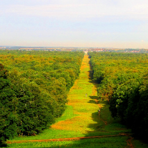
en forêt de Compiègne_27_la Tournante sur la Côte de Roilaye
en forêt de Compiègne
mes randos en forêt
![Length](/images/other/stat-length.png)
![Max alt](https://static1.geolcdn.com/siteimages/upload/files/1508320355ic_sort_altitude_max_24dp.png)
![Uphill gradient](https://static1.geolcdn.com/siteimages/upload/files/1508320355ic_sort_den_pos_24dp.png)
![Km-Effort](/images/other/stat-length.png)
![Min alt](https://static1.geolcdn.com/siteimages/upload/files/1508320355ic_sort_altitude_min_24dp.png)
![Downhill gradient](https://static1.geolcdn.com/siteimages/upload/files/1508320355ic_sort_den_neg_24dp.png)
![Boucle](https://static1.geolcdn.com/siteimages/upload/files/16400158638029165_repeat_loop_refresh_sync_direction_icon.png)
![Walking](https://static1.geolcdn.com/sitytour/trail-icons/101.png)
1h05
Difficulty : Very difficult
![Scan this QR Code to open this trail in the SityTrail application](https://capi.geolives.com/qq0zvz2zws4bq2lad0pu/sitytour/trails/2063340/qr.png?size=200)
FREE GPS app for hiking
About
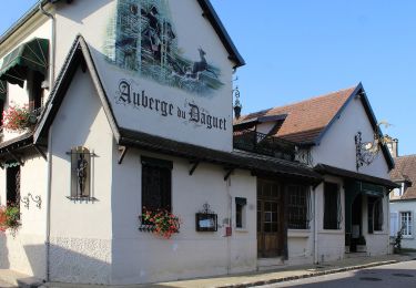
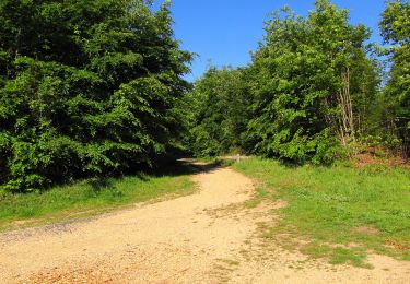
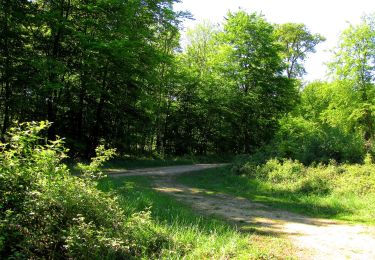
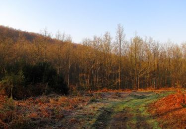
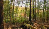
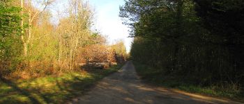
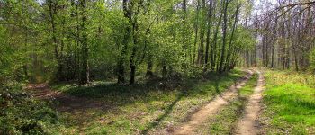
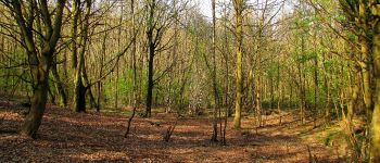
Trail Walking of 3.8 km to be discovered at Hauts-de-France, Oise, Saint-Étienne-Roilaye. This trail is proposed by en forêt de Compiègne.
Description
voir aussi: la-foret-de-compiegne.fr/
Objectif: faire complètement cette Tournante, ce qui ne fut pas le cas avec la rando intitulée: en forêt de Compiègne_26_la Grotte des Ramoneurs_Tournantes de la Queue de Saint-Etienne et sur la Côte de Roilaye.
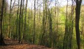
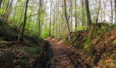
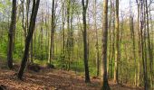
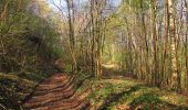
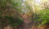
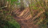
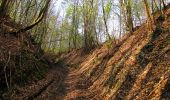
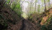
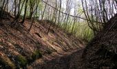
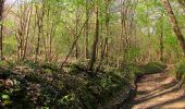
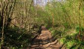
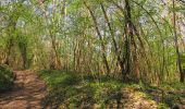
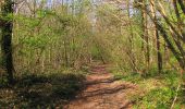
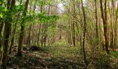
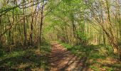
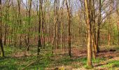
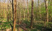
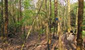
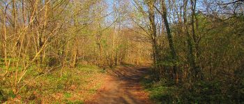
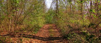
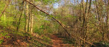
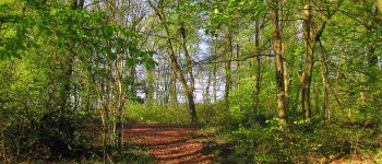
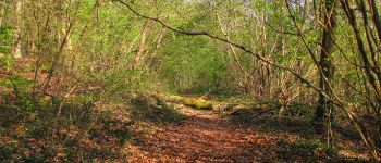
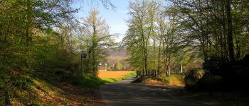
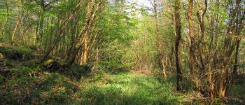
warning: en remontant la côte au niveau de la Rue la Briquetterie, chemin visible mais qui disparaît rapidement avec la végétation (ronces, herbes aquatiques, gaulis): très difficile à pratiquer. D'autre part, sur cette partie de la côte, les cartes IGN sont fausses. Et une portion de route bitumée est visible au bout de la Rue du Trou à Loup qui ne figure pas sur les cartes IGN.
Pour la description, voir mon tracé pour faire cette Tournante sur la Côte de Roilaye.
Si c'était à refaire, je pense qu'il vaudrait mieux la refaire à l'envers en partant du même point de départ mais en descendant plutôt qu'en montant. En descendant, il y a un chemin (je l'ai retrouvé en montant à mi-parcours de la remontée, voir s'il disparaît à un moment?).
Points of interest
Positioning
Comments
Trails nearby
![Trail On foot Pierrefonds - Le Voliard - Photo](https://media.geolcdn.com/t/375/260/4781613a-076f-4ad8-be25-8d021ddb8fa3.jpeg&format=jpg&maxdim=2)
![On foot On foot](https://static1.geolcdn.com/sitytour/trail-icons/100.png)
On foot
![](/images/other/stat-length.png)
![](https://static1.geolcdn.com/siteimages/upload/files/16400158638029165_repeat_loop_refresh_sync_direction_icon.png)
![Trail Walking Pierrefonds - Rando couscous ATPC ARVAL 4/2/2024 - Photo](https://media.geolcdn.com/t/375/260/ext.jpg?maxdim=2&url=https%3A%2F%2Fstatic1.geolcdn.com%2Fsiteimages%2Fupload%2Ffiles%2F1553511878bg_sport_marche.png)
![Walking Walking](https://static1.geolcdn.com/sitytour/trail-icons/101.png)
Walking
![](/images/other/stat-length.png)
![](https://static1.geolcdn.com/siteimages/upload/files/16400158638029165_repeat_loop_refresh_sync_direction_icon.png)
![Trail Walking Vieux-Moulin - Gorges du Han - ATPC ARVAL - Photo](https://media.geolcdn.com/t/375/260/ext.jpg?maxdim=2&url=https%3A%2F%2Fstatic1.geolcdn.com%2Fsiteimages%2Fupload%2Ffiles%2F1553511878bg_sport_marche.png)
![Walking Walking](https://static1.geolcdn.com/sitytour/trail-icons/101.png)
Walking
![](/images/other/stat-length.png)
![](https://static1.geolcdn.com/siteimages/upload/files/16400158638029165_repeat_loop_refresh_sync_direction_icon.png)
![Trail On foot Trosly-Breuil - Le Mont-Collet - Photo](https://media.geolcdn.com/t/375/260/ee705b5e-8f72-4c8f-a8a8-b0b1fed66154.jpeg&format=jpg&maxdim=2)
![On foot On foot](https://static1.geolcdn.com/sitytour/trail-icons/100.png)
On foot
![](/images/other/stat-length.png)
![](https://static1.geolcdn.com/siteimages/upload/files/16400158638029165_repeat_loop_refresh_sync_direction_icon.png)
![Trail On foot Vieux-Moulin - Promenade de Vieux moulin - Photo](https://media.geolcdn.com/t/375/260/a17a3f18-dfc3-477d-9052-cabfbc8976c4.jpeg&format=jpg&maxdim=2)
![On foot On foot](https://static1.geolcdn.com/sitytour/trail-icons/100.png)
On foot
![](/images/other/stat-length.png)
![](https://static1.geolcdn.com/siteimages/upload/files/16400158638029165_repeat_loop_refresh_sync_direction_icon.png)
![Trail Walking Vieux-Moulin - Gorges du Han - Photo](https://media.geolcdn.com/t/375/260/ext.jpg?maxdim=2&url=https%3A%2F%2Fstatic1.geolcdn.com%2Fsiteimages%2Fupload%2Ffiles%2F1553511878bg_sport_marche.png)
![Walking Walking](https://static1.geolcdn.com/sitytour/trail-icons/101.png)
Walking
![](/images/other/stat-length.png)
![](https://static1.geolcdn.com/siteimages/upload/files/16400158638029165_repeat_loop_refresh_sync_direction_icon.png)
![Walking Walking](https://static1.geolcdn.com/sitytour/trail-icons/101.png)
Walking
![](/images/other/stat-length.png)
![](https://static1.geolcdn.com/siteimages/upload/files/16400158638029165_repeat_loop_refresh_sync_direction_icon.png)
![Walking Walking](https://static1.geolcdn.com/sitytour/trail-icons/101.png)
Walking
![](/images/other/stat-length.png)
![](https://static1.geolcdn.com/siteimages/upload/files/16400158638029165_repeat_loop_refresh_sync_direction_icon.png)
![Walking Walking](https://static1.geolcdn.com/sitytour/trail-icons/101.png)
Walking
![](/images/other/stat-length.png)
![](https://static1.geolcdn.com/siteimages/upload/files/16400158638029165_repeat_loop_refresh_sync_direction_icon.png)