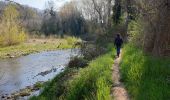
Trail Walking Hauterives - boucle idéale - Photo
 bob2023
bob2023

User

© OpenStreetMap contributors
Length
Length
7.9 km
Max alt
Max alt
312 m
Uphill gradient
Uphill gradient
84 m
Km-Effort
Km-Effort  
9.1 km
Min alt
Min alt
271 m
Downhill gradient
Downhill gradient
83 m
Boucle
Boucle
Yes
Creation date :
2019-04-13 14:13:34.334
Updated on :
2019-04-13 21:16:32.559

(1 Reviews)

Walking
Walking
2h29
Difficulty : Easy

Scan this QR Code to open this trail in the SityTrail application

FREE GPS app for hiking

Logo SityTrail SityTrail

IGN / Geographical institutes

Download SityTrail from the App Store Download SityTrail from Google Play

Logo SityTrail SityTrail World

The world is yours!

Download SityTrail from the App Store Download SityTrail from Google Play Download SityTrail on Huawei AppGallery

About

Trail Walking of 7.9 km to be discovered at Auvergne-Rhône-Alpes, Drôme, Hauterives. This trail is proposed by bob2023.

Description

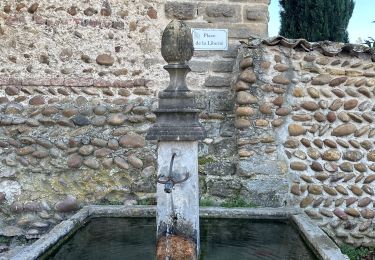
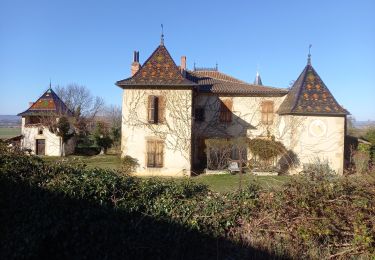
Après la visite du palais idéal du facteur CHEVAL, cette jolie boucle termine merveilleusement la journée.
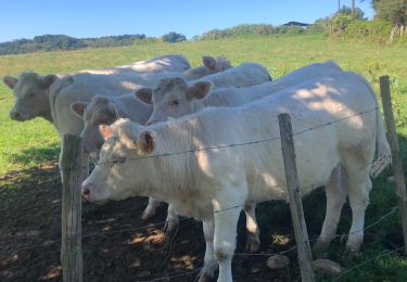
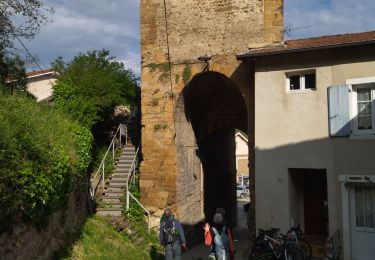
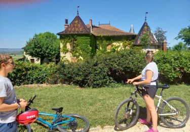
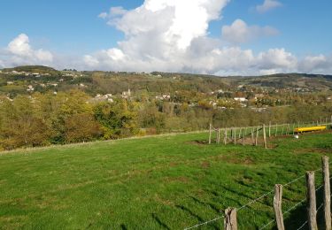
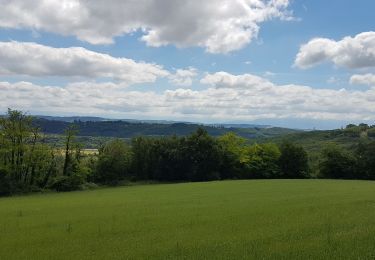
Le sentier longe la Galaure à travers un joli sous-bois. Le retour passe un peu plus haut et permet d'avoir une belle vue sur Hauterives.
Suivre sur la première moitié de la boucle, les marques "Boucle des castors", en profiter pour faire un arrêt au cimetière pour voir le tombeau du facteur CHEVAL . Ensuite finir avec les marques jaunes qui ramènent au point de départ.

Elevation profile

Photos

Positioning

Country:
France
Region :
Auvergne-Rhône-Alpes
Department/Province :
Drôme
Municipality :
Hauterives
Location:
Unknown
Start:(UTM)
659210 ; 5013293 (31T) N.

Comments

Please log in to post a review or rate the element


très bien


Trails nearby

Trail Walking Hauterives - Hauterives amicale  - Photo
Walking
alinetpierre

Walking

Easy
Hauterives, Auvergne-Rhône-Alpes, Drôme, France
13.1 km | 17.2 km-effort
3h 4min
Yes
Trail Road bike Lens-Lestang - Lens-lestang à Veyrac - Photo
Road bike
Vedett26

Road bike

Very difficult
(1)
Lens-Lestang, Auvergne-Rhône-Alpes, Drôme, France
146 km | 178 km-effort
10h 46min
No
Trail Walking Hauterives - 26 hauterives 01.05.23 - Photo
Walking
GUIDE
randodyssée

Walking

Easy
Hauterives, Auvergne-Rhône-Alpes, Drôme, France
15.2 km | 19.4 km-effort
4h 10min
Yes
Trail Cycle Lens-Lestang - Lens Lestang ballade historique en vélo  - Photo
Cycle
crocau

Cycle

Medium
(1)
Lens-Lestang, Auvergne-Rhône-Alpes, Drôme, France
13.1 km | 17.1 km-effort
Unknown
Yes
Trail Walking Lens-Lestang - Lens Lestang- route des Châteaux - Photo
Walking
crocau

Walking

Easy
Lens-Lestang, Auvergne-Rhône-Alpes, Drôme, France
9.4 km | 11.7 km-effort
1h 42min
Yes
Trail Walking Hauterives - Hauterives  - Photo
Walking
meillon

Walking

Easy
Hauterives, Auvergne-Rhône-Alpes, Drôme, France
10.5 km | 13.2 km-effort
3h 3min
Yes
Trail Walking Hauterives - marche du facteur  Cheval  2024 - Photo
Walking
jphugon

Walking

Difficult
Hauterives, Auvergne-Rhône-Alpes, Drôme, France
12.3 km | 16.1 km-effort
5h 21min
No
Trail Bicycle tourism Hauterives - Hauterive - Crest - Photo
Bicycle tourism
karawatsj

Bicycle tourism

Medium
Hauterives, Auvergne-Rhône-Alpes, Drôme, France
78 km | 90 km-effort
4h 23min
No
Trail sport Moras-en-Valloire - Marche active lapeyrouse départ Moras - Photo
sport
PapaLima

sport

Very easy
Moras-en-Valloire, Auvergne-Rhône-Alpes, Drôme, France
8.2 km | 11.8 km-effort
Unknown
Yes


Close
My subscriptions