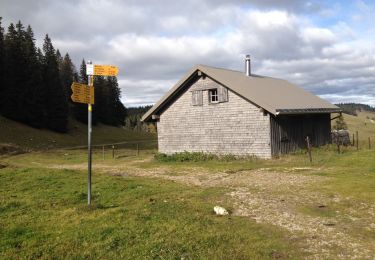
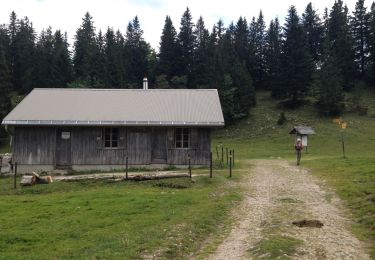
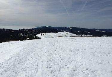
Trail Walking Bassins - Chalet a Roche Dessus - Pre aux Veaux - Photo

Chalet a Roche Dessus - Pre aux Veaux

© OpenStreetMap contributors
Length
Length
12.2 km
Max alt
Max alt
1493 m
Uphill gradient
Uphill gradient
310 m
Km-Effort
Km-Effort  
16.3 km
Min alt
Min alt
1294 m
Downhill gradient
Downhill gradient
311 m
Boucle
Boucle
Yes
Creation date :
2014-12-10 00:00:00.0
Updated on :
2014-12-10 00:00:00.0

(0 Reviews)

Walking
Walking
3h20
Difficulty : Easy

Scan this QR Code to open this trail in the SityTrail application

FREE GPS app for hiking

Logo SityTrail SityTrail

IGN / Geographical institutes

Download SityTrail from the App Store Download SityTrail from Google Play

Logo SityTrail SityTrail World

The world is yours!

Download SityTrail from the App Store Download SityTrail from Google Play Download SityTrail on Huawei AppGallery

About

Trail Walking of 12.2 km to be discovered at Vaud, District de Nyon, Bassins. This trail is proposed by tonymeyer.

Description

Départ au parking en dessous de Rionde Dessus.
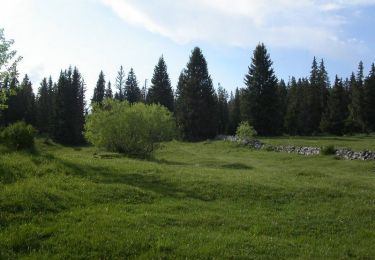
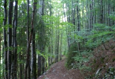
Motée d'abord en pâturage puis en forêt jusqu'à la Petite Chaux, puis en forêt jusqu'à la Place d'Armes.
100m après le croisement, prendre sentier à droite et rester à droite.
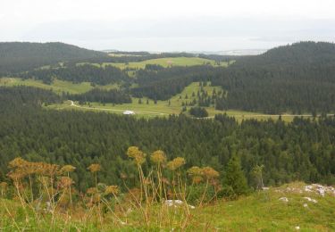
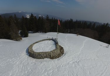
Belle balade le long de la crête en passant par le Chalet à Roch Dessus, puis descente jusqu'à la cabane de la Pierre à Écusson.
Retour 500m sur le même chemin, prendre à gauche à l'altitude 1340m.
1.2km plus loin au croisement, prendre sentier à gauche qui descend et sortira de la forêt.
Le chalet du Pré aux Veaux sera sur la gauche après encore 1 km, où on peut se ravitailler.
Descendre sur le chemin jusqu'à la route, la prendre à droite et la suivre jusqu'au retour au parking.

Elevation profile

Positioning

Country:
Switzerland
Region :
Vaud
Department/Province :
District de Nyon
Municipality :
Bassins
Location:
Unknown
Start:(UTM)
285312 ; 5155636 (32T) N.

Trails nearby

Trail Walking Bois-d'Amont - Roche Bernard - Bois d'Amont  - Photo
Walking
tracegps

Walking

Difficult
(1)
Bois-d'Amont, Bourgogne-Franche-Comté, Jura, France
15.1 km | 21 km-effort
5h 0min
Yes
Trail Walking Bois-d'Amont - La Roche du Creux - Bois d'Amont - Photo
Walking
tracegps

Walking

Medium
(1)
Bois-d'Amont, Bourgogne-Franche-Comté, Jura, France
8.7 km | 12.1 km-effort
3h 0min
Yes
Trail Walking Bois-d'Amont - Le Mont Sâla - Bois d'Amont - Photo
Walking
tracegps

Walking

Very difficult
(1)
Bois-d'Amont, Bourgogne-Franche-Comté, Jura, France
14.3 km | 22 km-effort
4h 30min
Yes
Trail Walking Bois-d'Amont - Le Livre d'Or du Risoux - Bois d'Amont - Photo
Walking
tracegps

Walking

Very difficult
(1)
Bois-d'Amont, Bourgogne-Franche-Comté, Jura, France
17.7 km | 24 km-effort
6h 40min
Yes
Trail Snowshoes Gimel - 2022-01-27_01h40m58_NLSbTcuSlJg-1 - Photo
Snowshoes
daniellebou

Snowshoes

Very easy
(1)
Gimel, Vaud, District de Morges, Switzerland
10.7 km | 15.5 km-effort
Unknown
Yes
Trail On foot Marchissy - Sentier du Coq - Photo
On foot
GUIDE+

On foot

Easy
Marchissy, Vaud, District de Nyon, Switzerland
5.7 km | 11.2 km-effort
2h 32min
No
Trail Walking Bassins - Creux du Croue depuis route des Pralets - Photo
Walking
tonymeyer

Walking

Easy
Bassins, Vaud, District de Nyon, Switzerland
14.5 km | 21 km-effort
4h 16min
Yes
Trail Walking Bassins - Le Sentier des Begnines - Photo
Walking
tonymeyer

Walking

Easy
Bassins, Vaud, District de Nyon, Switzerland
14.9 km | 21 km-effort
4h 0min
Yes
Trail Snowshoes Gimel - Marchairuz ch. des crêtes  - Photo
Snowshoes
Brougeons

Snowshoes

Medium
Gimel, Vaud, District de Morges, Switzerland
7.7 km | 10.8 km-effort
3h 3min
Yes


Close
My subscriptions