


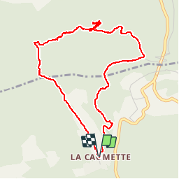

13 km | 18.6 km-effort


User


FREE GPS app for hiking
 SityTrail
IGN / Geographical institutes
SityTrail World
The world is yours!
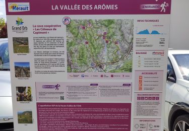
Trail Walking of 5.1 km to be discovered at Occitania, Hérault, Faugères. This trail is proposed by Leduc34.
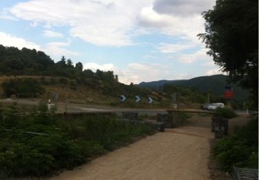
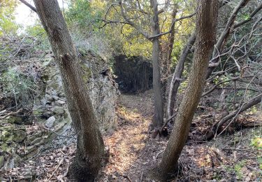
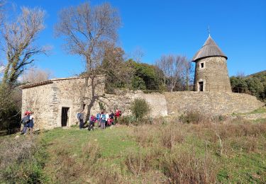
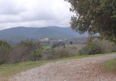
Petite rando facile au départ du petit village de La Caumette, beau parcours ombragé,de belle vue sur la vallée et sur Bédarieux. Belle capitelle carré dans les bois.


Walking
Cycle
Walking

Mountain bike
Walking
Walking

Walking
Walking

Walking