


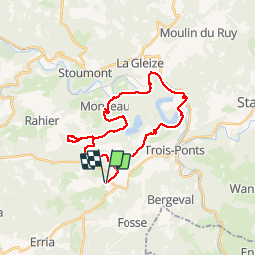

23 km | 33 km-effort


User


FREE GPS app for hiking
 SityTrail
IGN / Geographical institutes
SityTrail World
The world is yours!
Trail Horseback riding of 28 km to be discovered at Wallonia, Liège, Trois-Ponts. This trail is proposed by AudreyNey.
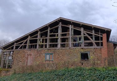
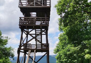
Trois Hêtre, grosse descente, boucle vers Rahier puis vers Monceau, descente vers Coo avec traversée de l'ambleve au parc de Ploopsa Coo, traversée de Petit Coo et remonter vers Brume pour redescendre vers Basse-Bodeux

Walking

Walking
Walking

Walking

Walking
Walking
Walking
Walking