


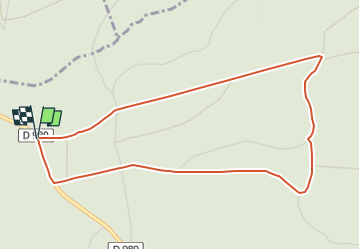

14.4 km | 19.2 km-effort


User


FREE GPS app for hiking
 SityTrail
IGN / Geographical institutes
SityTrail World
The world is yours!
Trail Nordic walking of 4.6 km to be discovered at Grand Est, Ardennes, Hargnies. This trail is proposed by denissculier.
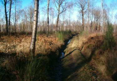
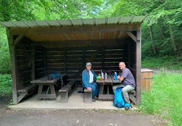
Une randonnée agréable et de faible dénivelé permettant de s’immerger dans le calme et la quiétude de la forêt du plateau ardennais.

Walking

Walking
Walking

Walking
Walking
Walking
Walking
Walking
On foot