


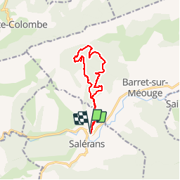


11.3 km | 16.3 km-effort


User


FREE GPS app for hiking
 SityTrail
IGN / Geographical institutes
SityTrail World
The world is yours!
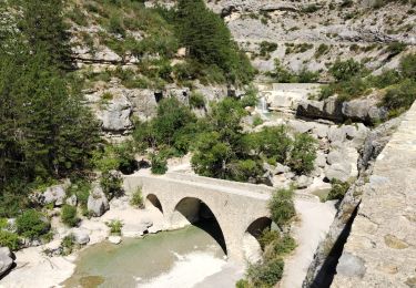
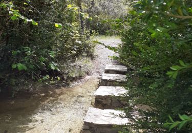
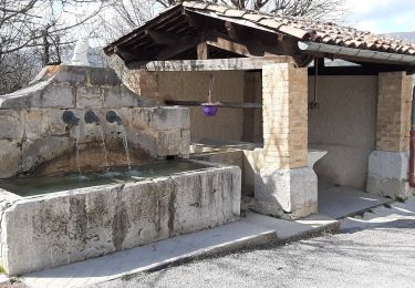
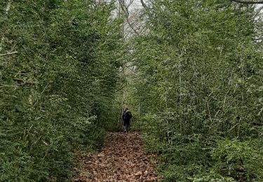
Trail Walking of 11.6 km to be discovered at Provence-Alpes-Côte d'Azur, Hautes-Alpes, Salérans. This trail is proposed by claude nier.
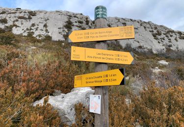
belle boucle
bien balisé
montee un peu dure au début
que du plaisir
Walking

Walking

Walking
Walking
Walking
Walking
Walking
Walking
Walking