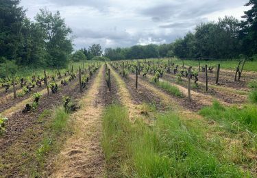
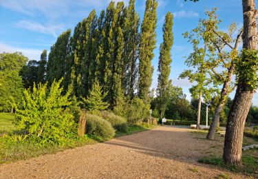
26 km | 31 km-effort
prunay
gerardh
User
Length
13.4 km
Max alt
152 m
Uphill gradient
167 m
Km-Effort
15.7 km
Min alt
92 m
Downhill gradient
167 m
Boucle
Yes
Creation date :
2019-04-04 07:09:35.528
Updated on :
2019-04-04 10:49:01.713
3h37
Difficulty : Very easy
FREE GPS app for hiking
About
Trail Walking of 13.4 km to be discovered at Centre-Loire Valley, Loir-et-Cher, Prunay-Cassereau. This trail is proposed by gerardh.
Positioning
Country:
France
Region :
Centre-Loire Valley
Department/Province :
Loir-et-Cher
Municipality :
Prunay-Cassereau
Location:
Unknown
Start:(Dec)
Start:(UTM)
344147 ; 5284645 (31T) N.
Comments
Trails nearby
Prunay-Cassereau - GR655ouest Lavardin GR35 Houssay PR Sasnières - 25.8km 360...
Walking
Medium
Prunay-Cassereau,
Centre-Loire Valley,
Loir-et-Cher,
France
5h 40min
Yes
Voie de Tours - 5eme étape : Prunay - Reugny - Vouvray
Walking
Very difficult
Prunay-Cassereau,
Centre-Loire Valley,
Loir-et-Cher,
France
45 km | 52 km-effort
8h 22min
No
Sasnières - Forêt de Prunay
Walking
Medium
Sasnières,
Centre-Loire Valley,
Loir-et-Cher,
France
10.6 km | 12.4 km-effort
2h 48min
Yes
Sasnières Nord
Walking
Medium
Sasnières,
Centre-Loire Valley,
Loir-et-Cher,
France
11.4 km | 13.7 km-effort
3h 6min
Yes
Rando VTT de Sasnières
Mountain bike
Difficult
Sasnières,
Centre-Loire Valley,
Loir-et-Cher,
France
47 km | 57 km-effort
3h 13min
Yes
st arnoult
Walking
Medium
Saint-Arnoult,
Centre-Loire Valley,
Loir-et-Cher,
France
18 km | 21 km-effort
3h 30min
Yes