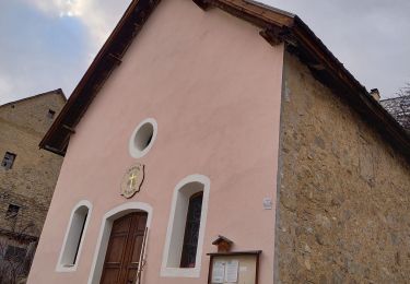
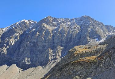
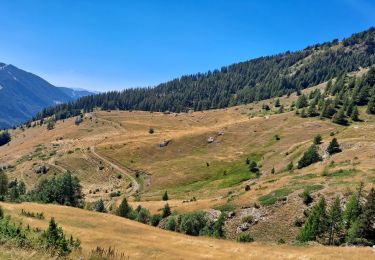
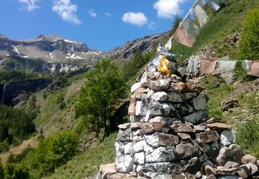
Trail Walking Champoléon - Méollion depuis les Borels - Photo
© OpenStreetMap contributors
Length
Length
3.3 km
Max alt
Max alt
1672 m
Uphill gradient
Uphill gradient
397 m
Km-Effort
Km-Effort  
7.3 km
Min alt
Min alt
1273 m
Downhill gradient
Downhill gradient
10 m
Boucle
Boucle
No
Creation date :
2015-06-17 00:00:00.0
Updated on :
2015-06-17 00:00:00.0

(0 Reviews)

Walking
Walking
6h45
Difficulty : Easy

Scan this QR Code to open this trail in the SityTrail application

FREE GPS app for hiking

Logo SityTrail SityTrail

IGN / Geographical institutes

Download SityTrail from the App Store Download SityTrail from Google Play

Logo SityTrail SityTrail World

The world is yours!

Download SityTrail from the App Store Download SityTrail from Google Play Download SityTrail on Huawei AppGallery

About

Trail Walking of 3.3 km to be discovered at Provence-Alpes-Côte d'Azur, Hautes-Alpes, Champoléon. This trail is proposed by gilbinrod.

Description

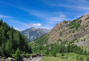
Le vallon de Méollion débouche sur la gauche de la vallée principale du Drac Blanc un peu en aval des Borels par un puissant cône de déjection qui a plaqué le Drac contre sa rive droite.
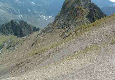
Depuis les Borels, le chemin autrefois carrossable et souvent ombragé passe successivement à Serre Borel (1300 m), Pied du Champet (1305 m), le Forest, lieu situé à l'extérieur ou éloigné en occitan alpin et non pas lieu forestier comme en français, Haut des Poas, autrement dit haut des montées (1630 m), et enfin Méollion, et sous, ou presque, les cascades de Méollion.

Elevation profile

Positioning

Country:
France
Region :
Provence-Alpes-Côte d'Azur
Department/Province :
Hautes-Alpes
Municipality :
Champoléon
Location:
Unknown
Start:(UTM)
283013 ; 4955500 (32T) N.

Trails nearby

Trail Walking Orcières - Le Forest des marches - Photo
Walking
GUIDE
nadinebondoux

Walking

Easy
(2)
Orcières, Provence-Alpes-Côte d'Azur, Hautes-Alpes, France
6.3 km | 9.9 km-effort
1h 42min
Yes
Trail Walking Champoléon - Lac Surat ou lac de Prelle - Photo
Walking
GUIDE
Marco05

Walking

Very difficult
Champoléon, Provence-Alpes-Côte d'Azur, Hautes-Alpes, France
16.3 km | 30 km-effort
6h 50min
Yes
Trail Walking Saint-Jean-Saint-Nicolas - Le Palastre - Photo
Walking
GUIDE
Marco05

Walking

Medium
Saint-Jean-Saint-Nicolas, Provence-Alpes-Côte d'Azur, Hautes-Alpes, France
9.1 km | 17.9 km-effort
4h 4min
Yes
Trail On foot Champoléon - Refuge du Tourond - Photo
On foot
GUIDE
Marco05

On foot

Easy
Champoléon, Provence-Alpes-Côte d'Azur, Hautes-Alpes, France
8.4 km | 14.2 km-effort
3h 14min
Yes
Trail Walking Champoléon - Méollion - Photo
Walking
GUIDE
Marco05

Walking

Medium
Champoléon, Provence-Alpes-Côte d'Azur, Hautes-Alpes, France
7.5 km | 13.7 km-effort
2h 59min
Yes
Trail Walking Champoléon - Boucle Isora - Photo
Walking
GUIDE
Marco05

Walking

Very difficult
Champoléon, Provence-Alpes-Côte d'Azur, Hautes-Alpes, France
17.8 km | 38 km-effort
8h 39min
Yes
Trail Walking Champoléon - Balade Vallée Champoléon - Photo
Walking
GUIDE
nadinebondoux

Walking

Easy
Champoléon, Provence-Alpes-Côte d'Azur, Hautes-Alpes, France
9.5 km | 12.2 km-effort
2h 40min
Yes
Trail Touring skiing Saint-Jean-Saint-Nicolas - Soleil boeuf - Photo
Touring skiing
GUIDE
nadd73

Touring skiing

Easy
Saint-Jean-Saint-Nicolas, Provence-Alpes-Côte d'Azur, Hautes-Alpes, France
10.9 km | 24 km-effort
4h 0min
Yes
Trail Touring skiing Saint-Jean-Saint-Nicolas - Soleil boeuf et petite remontée à Prouveyrat - Photo
Touring skiing
GUIDE
nadd73

Touring skiing

Medium
Saint-Jean-Saint-Nicolas, Provence-Alpes-Côte d'Azur, Hautes-Alpes, France
12.2 km | 26 km-effort
5h 1min
Yes


Close
My subscriptions