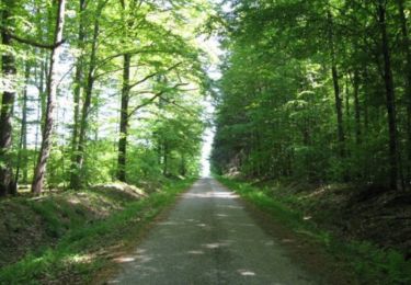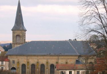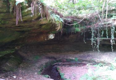

Darney : Vers le pont Tatal

ABICHE
User

Length
16.8 km

Max alt
338 m

Uphill gradient
280 m

Km-Effort
21 km

Min alt
256 m

Downhill gradient
283 m
Boucle
Yes
Creation date :
2019-03-29 10:47:23.782
Updated on :
2019-03-29 20:20:10.429
5h08
Difficulty : Very easy

FREE GPS app for hiking
About
Trail Walking of 16.8 km to be discovered at Grand Est, Vosges, Darney. This trail is proposed by ABICHE.
Description
Belle randonnée chargée d'histoire internationale (monument aux troupes tchèques et slovaques - création de l'armée tchécoslovaque) et locale (pont Tatal)
Positioning
Country:
France
Region :
Grand Est
Department/Province :
Vosges
Municipality :
Darney
Location:
Unknown
Start:(Dec)
Start:(UTM)
280124 ; 5329986 (32U) N.
Comments
Trails nearby

Sentier Le Val de Saône - Belrupt


Walking
Medium
Belrupt,
Grand Est,
Vosges,
France

11.1 km | 13 km-effort
2h 45min
Yes

Les terrasses de Darney


Walking
Medium
Darney,
Grand Est,
Vosges,
France

10.7 km | 13.1 km-effort
2h 45min
Yes

Les terrasses de Darney


Walking
Easy
Darney,
Grand Est,
Vosges,
France

7.2 km | 9.2 km-effort
1h 49min
Yes

hennezel march'ettes


Walking
Medium
Claudon,
Grand Est,
Vosges,
France

17.6 km | 22 km-effort
6h 55min
Yes

l'ourche à la Saône march'ettes


Walking
Medium
Claudon,
Grand Est,
Vosges,
France

17.5 km | 22 km-effort
4h 14min
Yes


 SityTrail


