


10 km | 16.2 km-effort


User


FREE GPS app for hiking
 SityTrail
IGN / Geographical institutes
SityTrail World
The world is yours!
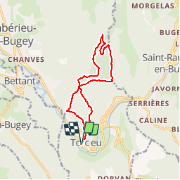
Trail Walking of 13 km to be discovered at Auvergne-Rhône-Alpes, Ain, Torcieu. This trail is proposed by btx.
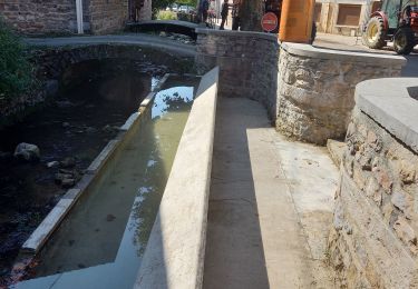
Stationnement près du "lavoir", proche église.
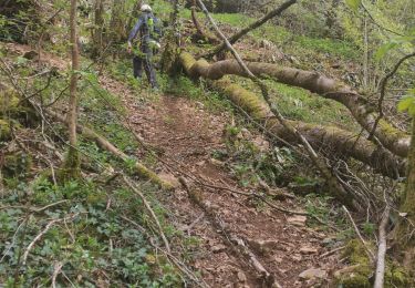
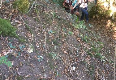
Circuit bon randonneur par la croix des moines, le mont Charvet, les prés Charvet, petit pré et retour parking
Walking

Walking

Other activity
Walking
Walking
Walking
Walking
Walking
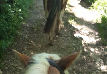
Horseback riding