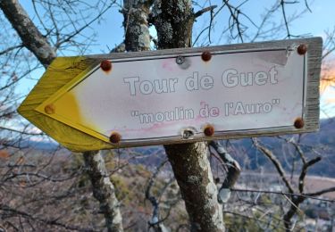
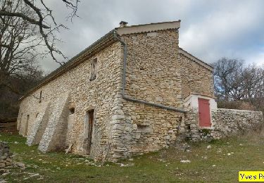
7.6 km | 11.2 km-effort
Peypin
claude nier
User
Length
8.5 km
Max alt
582 m
Uphill gradient
216 m
Km-Effort
11.5 km
Min alt
472 m
Downhill gradient
236 m
Boucle
No
Creation date :
2019-03-27 13:00:22.361
Updated on :
2019-03-27 21:07:21.165
3h33
Difficulty : Easy
FREE GPS app for hiking
About
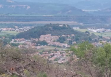
Trail Walking of 8.5 km to be discovered at Provence-Alpes-Côte d'Azur, Alpes-de-Haute-Provence, Aubignosc. This trail is proposed by claude nier.
Description
rando douce
Positioning
Country:
France
Region :
Provence-Alpes-Côte d'Azur
Department/Province :
Alpes-de-Haute-Provence
Municipality :
Aubignosc
Location:
Unknown
Start:(Dec)
Start:(UTM)
737920 ; 4889972 (31T) N.
Comments
Trails nearby
Bergeries en pierres sèches - Châteauneuf Val Saint Donat
Walking
Medium
(2)
Châteauneuf-Val-Saint-Donat,
Provence-Alpes-Côte d'Azur,
Alpes-de-Haute-Provence,
France
2h 19min
Yes
CHATEAU ARNOUX. S Jean , chemin des Bruyères, les Grandes Côtes o l s
Walking
Medium
(1)
Château-Arnoux-Saint-Auban,
Provence-Alpes-Côte d'Azur,
Alpes-de-Haute-Provence,
France
14.5 km | 21 km-effort
4h 46min
Yes
les 2 sommets sr Jean et tigne
Running
Medium
(1)
Volonne,
Provence-Alpes-Côte d'Azur,
Alpes-de-Haute-Provence,
France
10.4 km | 16.2 km-effort
1h 7min
Yes
Les Balcons de la Durance 11.2.24
Walking
Medium
L'Escale,
Provence-Alpes-Côte d'Azur,
Alpes-de-Haute-Provence,
France
14.6 km | 21 km-effort
4h 30min
Yes
Tour du lac de Volonne
Walking
Medium
Volonne,
Provence-Alpes-Côte d'Azur,
Alpes-de-Haute-Provence,
France
7.5 km | 8.4 km-effort
1h 54min
Yes
aubignosc. les canyons. partie basse
Walking
Medium
Aubignosc,
Provence-Alpes-Côte d'Azur,
Alpes-de-Haute-Provence,
France
7.9 km | 11.1 km-effort
2h 50min
Yes
aubignosc. Le canyon de mourieu , partie haute
Walking
Medium
Aubignosc,
Provence-Alpes-Côte d'Azur,
Alpes-de-Haute-Provence,
France
4.9 km | 6.7 km-effort
2h 20min
Yes
SALIGNAC . CRETES S MARTIN . CHAPELLES . O L S
Walking
Medium
Volonne,
Provence-Alpes-Côte d'Azur,
Alpes-de-Haute-Provence,
France
12.9 km | 19.2 km-effort
3h 32min
Yes
château neuf val St donat. Le pas de richaud
Walking
Difficult
Châteauneuf-Val-Saint-Donat,
Provence-Alpes-Côte d'Azur,
Alpes-de-Haute-Provence,
France
12.2 km | 22 km-effort
4h 54min
Yes