


11.4 km | 15.3 km-effort

User


FREE GPS app for hiking
 SityTrail
IGN / Geographical institutes
SityTrail World
The world is yours!
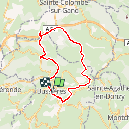
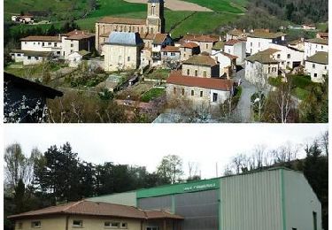
Trail Walking of 13.6 km to be discovered at Auvergne-Rhône-Alpes, Loire, Bussières. This trail is proposed by JULIENANDRE.
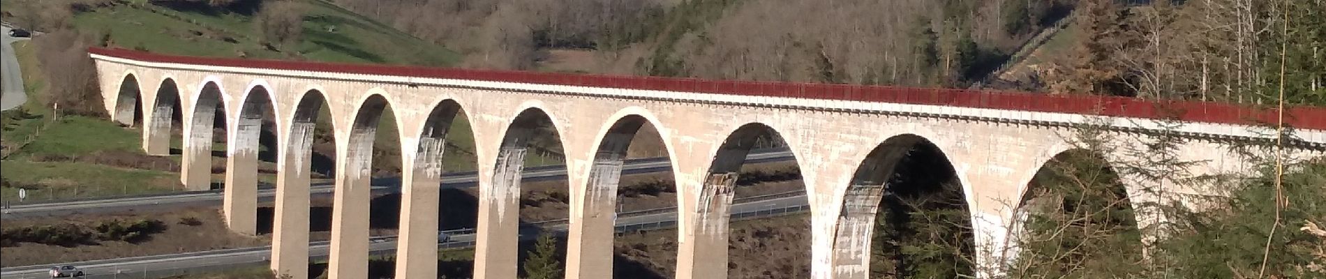
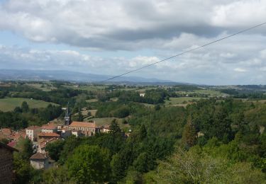
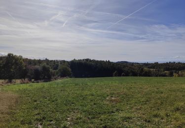
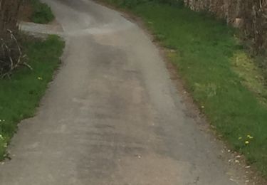
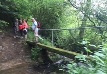
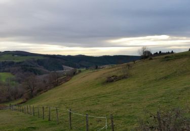
Cette randonnée de 13,6km exactement, composée de peu de goudron, vous fait découvrir les hauts de Bussières, le hameau de Montcellier, le chemin le long de la rivière le Bernand et vous permet d'accéder au viaduc du Pont Marteau par le bas de celui-ci, il vous faudra monter au niveau du tablier et le traverser (longueur viaduc 320m, hauteur 50m, composé de 12 arches). Le chemin suit après le tracé du tacot. Puis il vous faudra traverser un pré équipé de 2 barrières métalliques.
Début de la rando:
Partir du parking situé à l'arrière de l'église de Bussières, descendre la rue en laissant le kiosque à gauche et remonter la rue à gauche en passant devant la pharmacie et tourner à gauche vers la boulangerie, aller au fond du parking, monter les escaliers et passer devant le musée du tissage, le longer par la droite et prendre la ruelle à droite puis la rue à gauche.
nota: à Montcellier à la croix, il faut prendre la direction "chemin Poulet".


Walking
Walking
Walking

Walking
Walking
Walking
Walking
Walking
Mountain bike
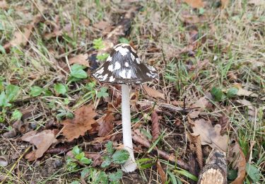
belle randonnée