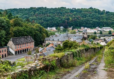
22 km | 28 km-effort
autour de Mont-Godinne
papyjose
User
Length
24 km
Max alt
282 m
Uphill gradient
606 m
Km-Effort
32 km
Min alt
77 m
Downhill gradient
606 m
Boucle
Yes
Creation date :
2019-03-27 07:04:09.178
Updated on :
2019-03-27 07:08:32.617
6h49
Difficulty : Very difficult
FREE GPS app for hiking
About
Trail Walking of 24 km to be discovered at Wallonia, Namur, Yvoir. This trail is proposed by papyjose.
Description
randonnée en partant du chu par Yvoir,Jauvia, Bauche
Positioning
Country:
Belgium
Region :
Wallonia
Department/Province :
Namur
Municipality :
Yvoir
Location:
Mont
Start:(Dec)
Start:(UTM)
633972 ; 5580190 (31U) N.
Comments
Trails nearby
GG-Na-19_ Lustin - Namur
Walking
Very difficult
(13)
Profondeville,
Wallonia,
Namur,
Belgium
6h 7min
No
RB-Na-21-Terres seigneuriales et carrières de la vallée du Bocq
Walking
Very difficult
(6)
Yvoir,
Wallonia,
Namur,
Belgium
22 km | 30 km-effort
6h 51min
Yes
RB-Na-20-Raccourci-2_Paysages_entre_Meuse_et_Burnot
Walking
Very difficult
(11)
Profondeville,
Wallonia,
Namur,
Belgium
14.6 km | 22 km-effort
4h 53min
Yes
RB-Na-20-Paysages_entre_Meuse_et_Burnot
Walking
Very difficult
(16)
Profondeville,
Wallonia,
Namur,
Belgium
18.5 km | 26 km-effort
5h 55min
Yes
05 Paysage condruzien
Walking
Easy
(5)
Assesse,
Wallonia,
Namur,
Belgium
10.2 km | 13.3 km-effort
2h 11min
No
GG2-Na-38_Godinne-Dinant (2021-11-04)
Walking
Very difficult
(6)
Yvoir,
Wallonia,
Namur,
Belgium
19.5 km | 27 km-effort
6h 13min
No
RF-Na-05 Annevoie, côté Jardins_Grande-boucle
Walking
Medium
(11)
Anhée,
Wallonia,
Namur,
Belgium
11.3 km | 14.5 km-effort
3h 6min
Yes
RF-Na-05 Annevoie, côté Jardins_Petite-boucle
Walking
Easy
(7)
Anhée,
Wallonia,
Namur,
Belgium
7.4 km | 10 km-effort
2h 7min
Yes
Profondeville
Walking
Medium
(1)
Profondeville,
Wallonia,
Namur,
Belgium
16.7 km | 25 km-effort
3h 49min
Yes