


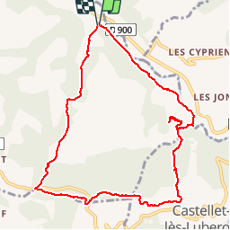

10.8 km | 13.8 km-effort


User


FREE GPS app for hiking
 SityTrail
IGN / Geographical institutes
SityTrail World
The world is yours!
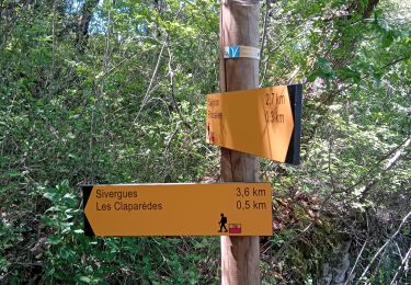
Trail Walking of 11 km to be discovered at Provence-Alpes-Côte d'Azur, Vaucluse, Saignon. This trail is proposed by PITOUSSAINT.

Walking

Walking
Walking
Walking
Cycle

Walking
Walking
Walking
Walking
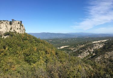
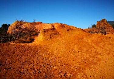
Belle randonnée à découvrir le long de la rivière du Calavon et découvrir quelques belles bories