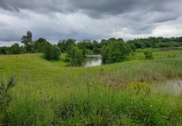
Trail Other activity Hésingue - Yves - Photo
 gutknece
gutknece

User

© OpenStreetMap contributors
Length
Length
22 km
Max alt
Max alt
432 m
Uphill gradient
Uphill gradient
306 m
Km-Effort
Km-Effort  
26 km
Min alt
Min alt
267 m
Downhill gradient
Downhill gradient
308 m
Boucle
Boucle
No
Creation date :
2014-12-10 00:00:00.0
Updated on :
2014-12-10 00:00:00.0

(0 Reviews)

Other activity
Other activity
6h22
Difficulty : Unknown

Scan this QR Code to open this trail in the SityTrail application

FREE GPS app for hiking

Logo SityTrail SityTrail

IGN / Geographical institutes

Download SityTrail from the App Store Download SityTrail from Google Play

Logo SityTrail SityTrail World

The world is yours!

Download SityTrail from the App Store Download SityTrail from Google Play Download SityTrail on Huawei AppGallery

About

Trail Other activity of 22 km to be discovered at Grand Est, Haut-Rhin, Hésingue. This trail is proposed by gutknece.

Elevation profile

Positioning

Country:
France
Region :
Grand Est
Department/Province :
Haut-Rhin
Municipality :
Hésingue
Location:
Unknown
Start:(UTM)
388475 ; 5270151 (32T) N.

Trails nearby

Trail Walking Weil am Rhein - île du Rhin PCA côté allemand  - Photo
Walking
floflo61

Walking

Easy
Weil am Rhein, Baden-Württemberg, Landkreis Lörrach, Germany
5.1 km | 5.6 km-effort
1h 14min
Yes
Trail Walking Saint-Louis - Petite Camargue saint Louis - Photo
Walking
juliengsell

Walking

Saint-Louis, Grand Est, Haut-Rhin, France
5 km | 5.4 km-effort
2h 8min
Yes
Trail Other activity Basel - bdr15_dBSajoie - Photo
Other activity
GUIDE+

Other activity

Very easy
Basel, Basel-City, Unknown, Switzerland
98 km | 133 km-effort
28h 58min
No
Trail Electric bike Saint-Louis - Gare st Louis gare Colmar  - Photo
Electric bike
apa

Electric bike

Medium
Saint-Louis, Grand Est, Haut-Rhin, France
84 km | 90 km-effort
4h 34min
No
Trail Walking Saint-Louis - petite camargue  - Photo
Walking
Alain28/01

Walking

Easy
Saint-Louis, Grand Est, Haut-Rhin, France
14.4 km | 15.4 km-effort
3h 27min
Yes
Trail Walking Wentzwiller - Wentzwiller chemin de croix - Photo
Walking
gerando

Walking

Difficult
Wentzwiller, Grand Est, Haut-Rhin, France
10.3 km | 13.1 km-effort
2h 43min
Yes
Trail Road bike Wentzwiller - Velo - Photo
Road bike
Cricri-1971

Road bike

Medium
Wentzwiller, Grand Est, Haut-Rhin, France
48 km | 59 km-effort
2h 19min
No
Trail Walking Wentzwiller - folgensbourg - Photo
Walking
Cricri-1971

Walking

Difficult
Wentzwiller, Grand Est, Haut-Rhin, France
13.2 km | 16.2 km-effort
2h 10min
Yes
Trail Plane Saint-Louis - xc 210225 bale Lanzarote  - Photo
Plane
xc

Plane

Very easy
Saint-Louis, Grand Est, Haut-Rhin, France
2905 km | 0 m-effort
25h 19min
No


Close
My subscriptions