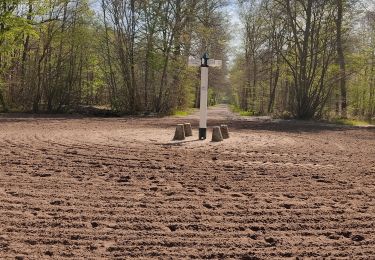
8.2 km | 9.2 km-effort
Chantillty
Corsica76
User
Length
9.3 km
Max alt
88 m
Uphill gradient
74 m
Km-Effort
10.2 km
Min alt
48 m
Downhill gradient
66 m
Boucle
No
Creation date :
2019-03-14 16:38:13.628
Updated on :
2019-03-14 16:38:31.394
--
Difficulty : Very easy
FREE GPS app for hiking
About
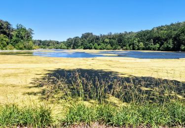
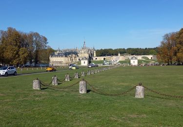
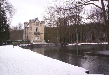
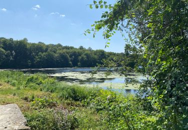
Trail On foot of 9.3 km to be discovered at Hauts-de-France, Oise, Chantilly. This trail is proposed by Corsica76.
Positioning
Country:
France
Region :
Hauts-de-France
Department/Province :
Oise
Municipality :
Chantilly
Location:
Unknown
Start:(Dec)
Start:(UTM)
460666 ; 5448405 (31U) N.
Comments
Trails nearby
SM_MONTGRESIN_EST_8.2Km
Walking
Medium
(6)
Orry-la-Ville,
Hauts-de-France,
Oise,
France
1h 51min
Yes
Boucle autour des étangs de Commelles
Walking
Very easy
Coye-la-Forêt,
Hauts-de-France,
Oise,
France
23 km | 26 km-effort
5h 5min
Yes
Mongrésin Grand parcours
Walking
Easy
(1)
Orry-la-Ville,
Hauts-de-France,
Oise,
France
21 km | 24 km-effort
5h 12min
Yes
apremont 60300
Walking
Difficult
(1)
Apremont,
Hauts-de-France,
Oise,
France
20 km | 23 km-effort
4h 49min
Yes
chantilly Gouvieux
Walking
Easy
Chantilly,
Hauts-de-France,
Oise,
France
20 km | 0 m-effort
5h 59min
Yes
Du GR 655 au GR14
On foot
Easy
Coye-la-Forêt,
Hauts-de-France,
Oise,
France
3.7 km | 4.1 km-effort
56min
No
Chantilly Etanf reine Blanche
Walking
Difficult
Coye-la-Forêt,
Hauts-de-France,
Oise,
France
14.9 km | 16.8 km-effort
3h 18min
Yes
Étangs de Commelles
Running
Orry-la-Ville,
Hauts-de-France,
Oise,
France
7.8 km | 8.7 km-effort
1h 5min
Yes
randonnée en forêt de chantilly
Walking
Very easy
Avilly-Saint-Léonard,
Hauts-de-France,
Oise,
France
12.1 km | 13.2 km-effort
2h 54min
Yes