22 km | 27 km-effort
Champs Etalle- Vance-Villers
Marie_Isabelle
User
Length
12.5 km
Max alt
365 m
Uphill gradient
104 m
Km-Effort
13.8 km
Min alt
338 m
Downhill gradient
104 m
Boucle
Yes
Creation date :
2019-03-11 20:37:46.21
Updated on :
2019-03-11 20:49:24.333
--
Difficulty : Very easy
FREE GPS app for hiking
About
Trail On foot of 12.5 km to be discovered at Wallonia, Luxembourg, Étalle. This trail is proposed by Marie_Isabelle.
Description
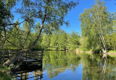
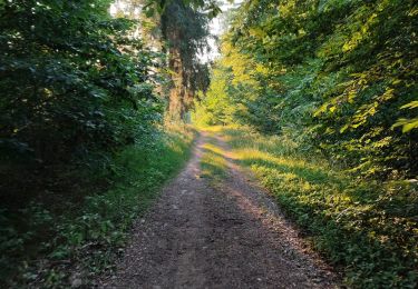
Champs et chaussée romaine
Positioning
Country:
Belgium
Region :
Wallonia
Department/Province :
Luxembourg
Municipality :
Étalle
Location:
Vance
Start:(Dec)
Start:(UTM)
692494 ; 5505332 (31U) N.
Comments
Trails nearby
Thiaumont TH01
On foot
Easy
(1)
Attert,
Wallonia,
Luxembourg,
Belgium
7.1 km | 8.8 km-effort
2h 0min
Yes
GAUME Boucle vers la vallee de la Rougeau
Walking
Easy
(3)
Étalle,
Wallonia,
Luxembourg,
Belgium
5.6 km | 7.1 km-effort
1h 32min
Yes
GAUME Balade dans les dunes de chatillon
Walking
Very easy
(1)
Saint-Léger,
Wallonia,
Luxembourg,
Belgium
3.6 km | 4.4 km-effort
58min
Yes
Chantemelle la tranchée des portes
Walking
Easy
Étalle,
Wallonia,
Luxembourg,
Belgium
10.8 km | 12.6 km-effort
2h 30min
Yes
De Clocher en Clocher
On foot
Easy
Saint-Léger,
Wallonia,
Luxembourg,
Belgium
7.2 km | 8.9 km-effort
2h 0min
Yes
La Stabuloise
On foot
Easy
Étalle,
Wallonia,
Luxembourg,
Belgium
13.5 km | 15.5 km-effort
3h 30min
Yes
Forêt de Gaume depuis Chatillon VTT
Mountain bike
Medium
Saint-Léger,
Wallonia,
Luxembourg,
Belgium
24 km | 28 km-effort
1h 37min
Yes
Trou des portes et Dent du Chien
Walking
Very easy
(1)
Étalle,
Wallonia,
Luxembourg,
Belgium
8.9 km | 12.5 km-effort
2h 13min
No