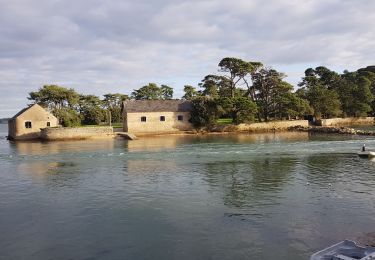
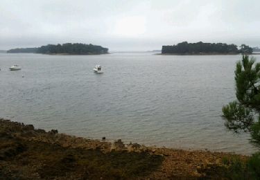
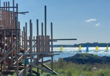
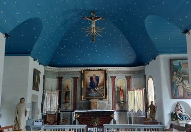
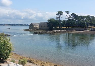
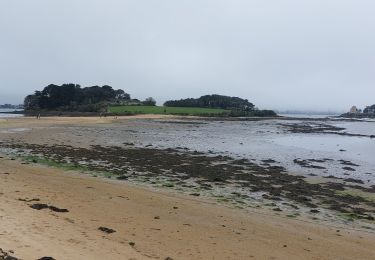
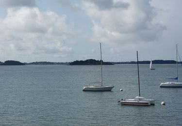
Trail Walking Baden - Ile aux Moines - Photo

Ile aux Moines

 ilur56
ilur56

User

© OpenStreetMap contributors
Length
Length
19.8 km
Max alt
Max alt
25 m
Uphill gradient
Uphill gradient
190 m
Km-Effort
Km-Effort  
22 km
Min alt
Min alt
-2 m
Downhill gradient
Downhill gradient
187 m
Boucle
Boucle
No
Creation date :
2016-03-09 00:00:00.0
Updated on :
2016-03-09 00:00:00.0

(1 Reviews)

Walking
Walking
4h53
Difficulty : Easy

Scan this QR Code to open this trail in the SityTrail application

FREE GPS app for hiking

Logo SityTrail SityTrail

IGN / Geographical institutes

Download SityTrail from the App Store Download SityTrail from Google Play

Logo SityTrail SityTrail World

The world is yours!

Download SityTrail from the App Store Download SityTrail from Google Play Download SityTrail on Huawei AppGallery

About

Trail Walking of 19.8 km to be discovered at Brittany, Morbihan, Baden. This trail is proposed by ilur56.

Description

Tour de l'île par le sentier douanier

Elevation profile

Photos

Points of interest

Point of interest Île-aux-Moines - Plage du Lérin - Photo
ilur56
ÎLE-AUX-MOINES 
Point of interest  - Kergonan - Photo
ilur56
Point of interest Île-aux-Moines - Pointe de Kergonan - Photo
ilur56
ÎLE-AUX-MOINES 
Point of interest Île-aux-Moines - Plage de Gored - Photo
ilur56
ÎLE-AUX-MOINES 
Point of interest Île-aux-Moines - Verbozec - Photo
ilur56
ÎLE-AUX-MOINES 
Point of interest Île-aux-Moines - Pointe de Brannec - Photo
ilur56
ÎLE-AUX-MOINES 
Point of interest Île-aux-Moines - Vers le village de Penhap - Photo
ilur56
ÎLE-AUX-MOINES 
Point of interest Île-aux-Moines - Pointe de Kasleil er Guévir - Photo
ilur56
Point of interest Île-aux-Moines - Cale pointe de Brouel - Photo
ilur56
ÎLE-AUX-MOINES 
Point of interest Île-aux-Moines - Port Miquel - Photo
ilur56
ÎLE-AUX-MOINES 
Point of interest Île-aux-Moines - Pointe du Trech - Photo
ilur56
ÎLE-AUX-MOINES 
Point of interest Île-aux-Moines - Pointe du Trech - Photo
ilur56
ÎLE-AUX-MOINES 
Point of interest Île-aux-Moines - Port d'embarquement - Photo
ilur56
ÎLE-AUX-MOINES 

Positioning

Country:
France
Region :
Brittany
Department/Province :
Morbihan
Municipality :
Baden
Location:
Unknown
Start:(UTM)
510544 ; 5272159 (30T) N.

Comments

Please log in to post a review or rate the element


Trails nearby

Trail Walking Larmor-Baden - LARMOR-BADEN_PEN-EN-TOUL_BERDER - Photo
Walking
patrickdanilo

Walking

Easy
(2)
Larmor-Baden, Brittany, Morbihan, France
10.9 km | 12.3 km-effort
2h 23min
Yes
Trail Running Larmor-Baden - Larmor Baden - Photo
Running
guizouarn

Running

Medium
(1)
Larmor-Baden, Brittany, Morbihan, France
5 km | 5.6 km-effort
54min
Yes
Trail Cycle Arradon - f-frankrijk-rondje-morbihan - Photo
Cycle
gpstracks

Cycle

Very easy
(2)
Arradon, Brittany, Morbihan, France
36 km | 42 km-effort
Unknown
Yes
Trail Walking Île-aux-Moines - moines - Photo
Walking
CRCL

Walking

Easy
(2)
Île-aux-Moines, Brittany, Morbihan, France
18.2 km | 21 km-effort
4h 7min
No
Trail Walking Île-d'Arz - PR_56_Ile-D-Arz_AA_01_Circuit1b_Ile-D'Arz_20240917 - Photo
Walking
patrickdanilo

Walking

Very easy
Île-d'Arz, Brittany, Morbihan, France
16.6 km | 17.6 km-effort
3h 39min
Yes
Trail Walking Baden - PR_56_Baden_AB_05_Circuit4a_Anse-Du-Moustran_20240908 - Photo
Walking
patrickdanilo

Walking

Easy
Baden, Brittany, Morbihan, France
8.1 km | 9.3 km-effort
1h 43min
Yes
Trail Walking Larmor-Baden - PR_56_Larmor-Baden_BA_02_Circuit4a_Tour-De-Berder-Et-Du-Marais_20240717 - Photo
Walking
patrickdanilo

Walking

Very easy
Larmor-Baden, Brittany, Morbihan, France
9.6 km | 10.8 km-effort
1h 55min
Yes
Trail Walking Baden - PR_56_Baden_DA_04_Circuit4a_Pointe-De-Locmiquel_20240317 - Photo
Walking
patrickdanilo

Walking

Difficult
Baden, Brittany, Morbihan, France
12 km | 14 km-effort
3h 11min
Yes
Trail Walking Baden - PR_56_Baden_CA_03_Circuit4a_Bois-Bourgerel_20230826 - Photo
Walking
patrickdanilo

Walking

Easy
Baden, Brittany, Morbihan, France
10.3 km | 11.8 km-effort
2h 1min
Yes


Close
My subscriptions