


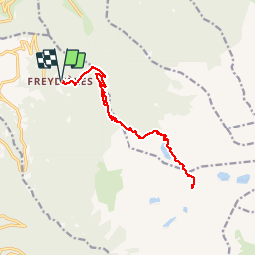

9.1 km | 16.3 km-effort


User


FREE GPS app for hiking
 SityTrail
IGN / Geographical institutes
SityTrail World
The world is yours!
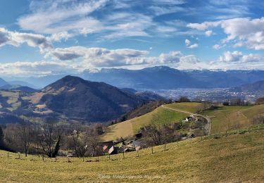
Trail Walking of 16.6 km to be discovered at Auvergne-Rhône-Alpes, Isère, Revel. This trail is proposed by florent43.
Départ du lac des Freydières
Passage par le lac du Crozet
Passage par le Col de la Pra (2164m d'altitude)
Retour par le même itinéraire.

On foot

On foot
On foot
On foot
On foot

On foot

Mountain bike
Walking

Walking