


7.8 km | 9.8 km-effort


User


FREE GPS app for hiking
 SityTrail
IGN / Geographical institutes
SityTrail World
The world is yours!
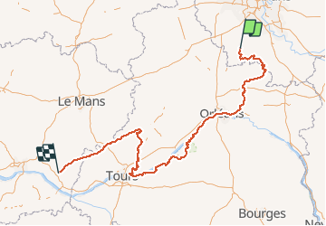
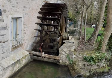
Trail Other activity of 465 km to be discovered at Ile-de-France, Essonne, Étampes. This trail is proposed by Gege78730.
Etampes à Malesherbes -> GR 111
Malesherbes à Orléans -> GR 32
Orléans à Tours -> GR 3
Tours à Vendôme -> GR 335
Vendôme à Chartres -> GR 35 GRP
Walking
Walking

Walking
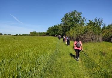
Walking
Walking
Walking
Walking


Walking