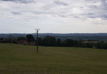
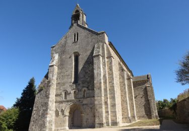
Trail Mountain bike Lubersac - 9603799-Test Roulures Laleu St cyr - Photo

9603799-Test Roulures Laleu St cyr

 grassimo
grassimo

User

© OpenStreetMap contributors
Length
Length
57 km
Max alt
Max alt
473 m
Uphill gradient
Uphill gradient
1033 m
Km-Effort
Km-Effort  
71 km
Min alt
Min alt
234 m
Downhill gradient
Downhill gradient
1033 m
Boucle
Boucle
Yes
Creation date :
2019-02-28 20:05:39.863
Updated on :
2019-05-01 17:09:10.825

(0 Reviews)

Mountain bike
Mountain bike
4h57
Difficulty : Very difficult

Scan this QR Code to open this trail in the SityTrail application

FREE GPS app for hiking

Logo SityTrail SityTrail

IGN / Geographical institutes

Download SityTrail from the App Store Download SityTrail from Google Play

Logo SityTrail SityTrail World

The world is yours!

Download SityTrail from the App Store Download SityTrail from Google Play Download SityTrail on Huawei AppGallery

About

Trail Mountain bike of 57 km to be discovered at New Aquitaine, Corrèze, Lubersac. This trail is proposed by grassimo.

Description

Je pense avec marge erreur constater il doit faire 60 km et 1150m .
Car pour 60 km mentionné on fait 65 kms et 1300m .

Elevation profile

Positioning

Country:
France
Region :
New Aquitaine
Department/Province :
Corrèze
Municipality :
Lubersac
Location:
Unknown
Start:(Dec)
Start:(UTM)
375202 ; 5030420 (31T) N.

Trails nearby

Trail Running Saint-Sornin-Lavolps - jour 21 CAP Jeanot - Photo
Running
jeannat

Running

Very easy
Saint-Sornin-Lavolps, New Aquitaine, Corrèze, France
41 km | 52 km-effort
6h 24min
No
Trail Mountain bike Lubersac - 9850984-test les roulures Lubersac Anty - Photo
Mountain bike
grassimo

Mountain bike

Very difficult
(1)
Lubersac, New Aquitaine, Corrèze, France
47 km | 58 km-effort
3h 48min
Yes
Trail Walking Arnac-Pompadour - Arnac-Pompadour - Photo
Walking
houbart

Walking

Very easy
(2)
Arnac-Pompadour, New Aquitaine, Corrèze, France
7.5 km | 9.2 km-effort
2h 2min
Yes
Trail Walking Troche - Le chemin des étangs au départ de Troche - Photo
Walking
houbart

Walking

Medium
Troche, New Aquitaine, Corrèze, France
7.2 km | 9.5 km-effort
1h 58min
Yes
Trail On foot Saint-Sornin-Lavolps - Forêt Domaniale de Pompadour par Saint-Sornin-Lavolps - Photo
On foot
houbart

On foot

Very easy
Saint-Sornin-Lavolps, New Aquitaine, Corrèze, France
8.6 km | 10.8 km-effort
Unknown
Yes
Trail Walking Arnac-Pompadour - Arnac-Pompadour- Domaine de Chignac - Photo
Walking
houbart

Walking

Easy
Arnac-Pompadour, New Aquitaine, Corrèze, France
6.2 km | 7.7 km-effort
1h 43min
Yes
Trail Equestrian Lubersac - Bourbouloux Vendonnais - Lubersac - Pays Vézère Auvézère  - Photo
Equestrian
tracegps

Equestrian

Medium
Lubersac, New Aquitaine, Corrèze, France
14.1 km | 17.7 km-effort
2h 0min
Yes
Trail Mountain bike Lubersac - Bourbouloux Vendonnais - Lubersac - Pays Vézère Auvézère  - Photo
Mountain bike
tracegps

Mountain bike

Medium
(1)
Lubersac, New Aquitaine, Corrèze, France
14.1 km | 17.7 km-effort
1h 0min
Yes
Trail Walking Lubersac - Bourbouloux Vendonnais - Lubersac - Pays Vézère Auvézère  - Photo
Walking
tracegps

Walking

Medium
Lubersac, New Aquitaine, Corrèze, France
14.1 km | 17.7 km-effort
3h 30min
Yes


Close
My subscriptions