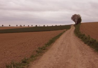
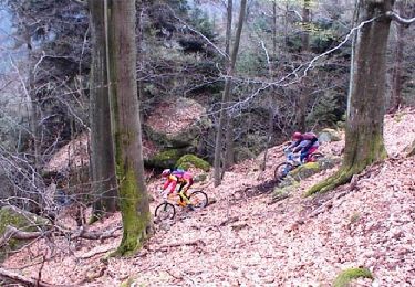
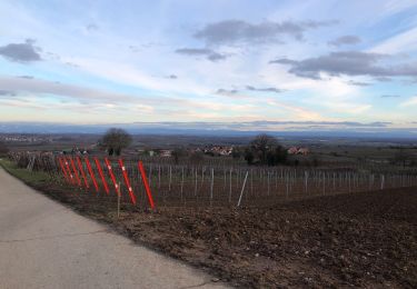
Trail Coupling Handschuheim - chapelle en caleche - Photo

chapelle en caleche

 EVY67
EVY67

User

© OpenStreetMap contributors
Length
Length
7.1 km
Max alt
Max alt
205 m
Uphill gradient
Uphill gradient
76 m
Km-Effort
Km-Effort  
8.2 km
Min alt
Min alt
159 m
Downhill gradient
Downhill gradient
90 m
Boucle
Boucle
No
Creation date :
2019-02-24 10:23:15.822
Updated on :
2019-02-24 23:02:28.722

(0 Reviews)

Coupling
Coupling
1h01
Difficulty : Very easy

Scan this QR Code to open this trail in the SityTrail application

FREE GPS app for hiking

Logo SityTrail SityTrail

IGN / Geographical institutes

Download SityTrail from the App Store Download SityTrail from Google Play

Logo SityTrail SityTrail World

The world is yours!

Download SityTrail from the App Store Download SityTrail from Google Play Download SityTrail on Huawei AppGallery

About

Trail Coupling of 7.1 km to be discovered at Grand Est, Bas-Rhin, Handschuheim. This trail is proposed by EVY67.

Elevation profile

Positioning

Country:
France
Region :
Grand Est
Department/Province :
Bas-Rhin
Municipality :
Handschuheim
Location:
Unknown
Start:(UTM)
395126 ; 5384317 (32U) N.

Trails nearby

Trail Walking Ergersheim - Marche Pop. Ergersheim - Photo
Walking
oscar1

Walking

Very easy
Ergersheim, Grand Est, Bas-Rhin, France
11.8 km | 14.5 km-effort
2h 56min
Yes
Trail Cycle Ernolsheim-Bruche - Circuit cyclo des villages de plaine - Ernolsheim-Bruche - Photo
Cycle
tracegps

Cycle

Easy
Ernolsheim-Bruche, Grand Est, Bas-Rhin, France
19.1 km | 20 km-effort
1h 0min
Yes
Trail Horseback riding Dachstein - Dachstein- Dompeter - Vignes Avolsheim - Photo
Horseback riding
jmroth

Horseback riding

Medium
Dachstein, Grand Est, Bas-Rhin, France
8.3 km | 9.7 km-effort
1h 20min
No
Trail Mountain bike Quatzenheim - Flanerie au bord de l'eau - Quatzenheim - Photo
Mountain bike
tracegps

Mountain bike

Medium
Quatzenheim, Grand Est, Bas-Rhin, France
31 km | 34 km-effort
1h 30min
Yes
Trail Mountain bike Quatzenheim - Kochersberg en VTT - Quatzenheim - Photo
Mountain bike
tracegps

Mountain bike

Difficult
Quatzenheim, Grand Est, Bas-Rhin, France
23 km | 27 km-effort
2h 0min
Yes
Trail Mountain bike Dossenheim-Kochersberg - Randonnée Dossenheim - K. 04 - Photo
Mountain bike
tracegps

Mountain bike

Difficult
Dossenheim-Kochersberg, Grand Est, Bas-Rhin, France
41 km | 50 km-effort
3h 0min
Yes
Trail Walking Dahlenheim - Froissart schararberg - Photo
Walking
irftz

Walking

Dahlenheim, Grand Est, Bas-Rhin, France
5.3 km | 6.9 km-effort
1h 0min
Yes
Trail Nordic walking Achenheim - Les Passerelles de la Bruche - Photo
Nordic walking
Fabienne BECKE

Nordic walking

Difficult
Achenheim, Grand Est, Bas-Rhin, France
11.2 km | 12.8 km-effort
2h 0min
Yes
Trail Equestrian Breuschwickersheim - chevauchée gourmande 2022b - Photo
Equestrian
anniston

Equestrian

Easy
Breuschwickersheim, Grand Est, Bas-Rhin, France
19.4 km | 22 km-effort
2h 40min
Yes


Close
My subscriptions