


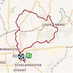

17.9 km | 22 km-effort


User

FREE GPS app for hiking
 SityTrail
IGN / Geographical institutes
SityTrail World
The world is yours!
Trail Electric bike of 16.2 km to be discovered at Flanders, East Flanders, Ronse. This trail is proposed by bve9600.
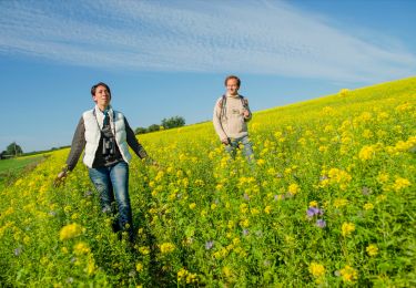
Super circuit avec chemins boisées et paysages de campagne.
Note: Aux étangs de Nukerke il n'est plus possible de faire le tour des étangs à vélo.
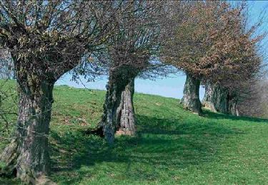
 - Photo 1")
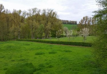
 - Photo 2")
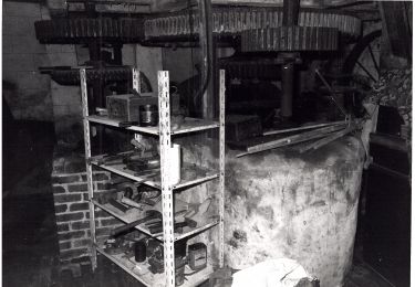
 - Photo 3")
 - Photo 4")
 - Photo 5")
 - Photo 6")
 - Photo 7")
 - Photo 8")
 - Photo 9")
 - Photo 10")
 - Photo 11")
 - Photo 12")
 - Photo 13")
 - Photo 14")
Walking

Electric bike
Mountain bike
On foot

Equestrian
On foot

Walking
Walking
Walking