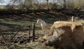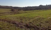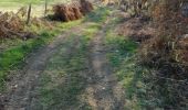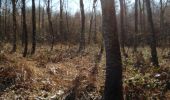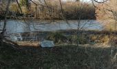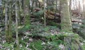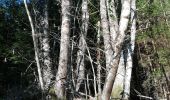

les feuillardiers

Laeti2510
User

Length
12.9 km

Max alt
479 m

Uphill gradient
262 m

Km-Effort
16.4 km

Min alt
339 m

Downhill gradient
263 m
Boucle
Yes
Creation date :
2019-02-23 14:33:22.129
Updated on :
2019-02-23 18:41:20.016
3h24
Difficulty : Medium

FREE GPS app for hiking
About
Trail Walking of 12.9 km to be discovered at New Aquitaine, Haute-Vienne, Champagnac-la-Rivière. This trail is proposed by Laeti2510.
Description
Superbe randonnée cependant attention au passage de la basse borde plusieurs chiens de chasse sortant d une habitation se montre agressif obligé de faire un détour
Positioning
Country:
France
Region :
New Aquitaine
Department/Province :
Haute-Vienne
Municipality :
Champagnac-la-Rivière
Location:
Unknown
Start:(Dec)
Start:(UTM)
335728 ; 5060004 (31T) N.
Comments
Trails nearby
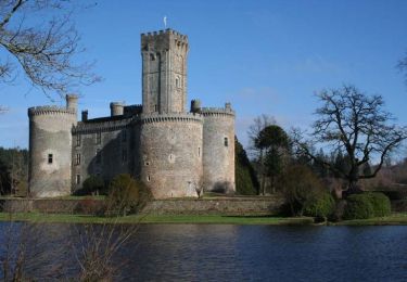
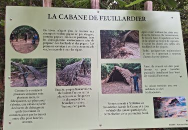
Pays des Feuillardiers


Walking
Medium
(1)
Champagnac-la-Rivière,
New Aquitaine,
Haute-Vienne,
France

12.2 km | 15.7 km-effort
2h 30min
Yes
Masselièvre vers La Chapelle Montbrandeix


Walking
Medium
La Chapelle-Montbrandeix,
New Aquitaine,
Haute-Vienne,
France

8.9 km | 10.9 km-effort
2h 37min
No

cussac1010b


Walking
Medium
Dournazac,
New Aquitaine,
Haute-Vienne,
France

5 km | 6.1 km-effort
2h 21min
Yes

tour des fontaines cussac


Trail
Very easy
Cussac,
New Aquitaine,
Haute-Vienne,
France

11.9 km | 14.5 km-effort
1h 24min
Yes
Circuit du Grand Puyconnieux - Dournazac


Equestrian
Medium
Dournazac,
New Aquitaine,
Haute-Vienne,
France

12.7 km | 16.3 km-effort
2h 0min
Yes
Circuit du Grand Puyconnieux - Dournazac


Mountain bike
Medium
Dournazac,
New Aquitaine,
Haute-Vienne,
France

12.7 km | 16.3 km-effort
1h 0min
Yes
Circuit du Grand Puyconnieux - Dournazac


Walking
Medium
(1)
Dournazac,
New Aquitaine,
Haute-Vienne,
France

12.7 km | 16.3 km-effort
3h 30min
Yes

Cussac circuit des ecureils


Walking
Very easy
Champagnac-la-Rivière,
New Aquitaine,
Haute-Vienne,
France

6.3 km | 7.6 km-effort
1h 52min
Yes


 SityTrail


