


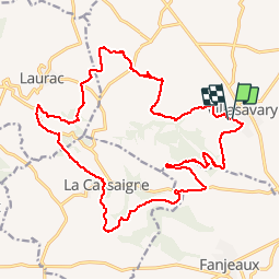

16.9 km | 21 km-effort


User


FREE GPS app for hiking
 SityTrail
IGN / Geographical institutes
SityTrail World
The world is yours!
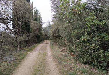
Trail Mountain bike of 23 km to be discovered at Occitania, Aude, Villasavary. This trail is proposed by leroj73.
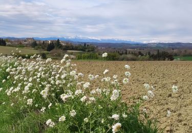
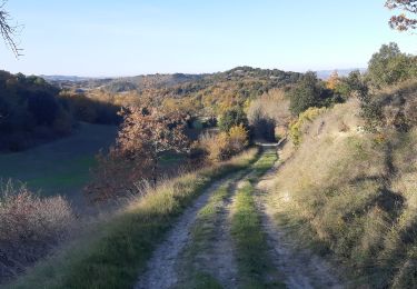
parcours ludique avec des "coups de culs" bien cassant. de superbes cingles pour un finich en douceurs. des points de vue magnigiques sur les collines audoises
Walking
Walking

Walking
Walking
Walking
Walking

Mountain bike
Walking
A faire. sur le site du club vtt. lous pounpils...ils font un travail de fou. merci pour leurs tracés