


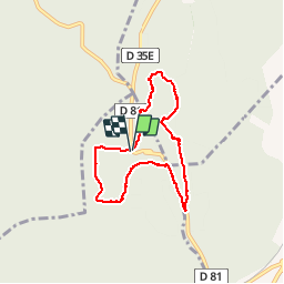


16.9 km | 21 km-effort


User


FREE GPS app for hiking
 SityTrail
IGN / Geographical institutes
SityTrail World
The world is yours!
Trail Walking of 6.8 km to be discovered at Provence-Alpes-Côte d'Azur, Bouches-du-Rhône, Tarascon. This trail is proposed by SabetMick.
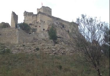
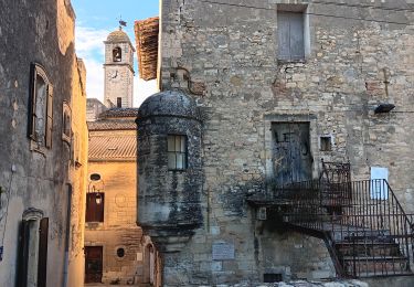
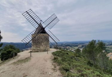
Petite randonnée ludique autour de l'abbaye de Frigolet. Passage le long de la route sans intérêt, en revanche le début et la fin de la randonnée sont très agréable.

Walking

Walking

On foot
Walking
Walking
Walking
Walking
Walking

Walking