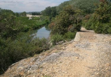
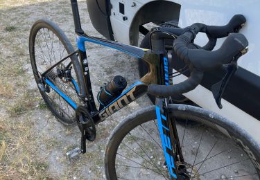
Trail Walking Roquemaure - chemin de l estrace - Photo

chemin de l estrace

© OpenStreetMap contributors
Length
Length
11 km
Max alt
Max alt
102 m
Uphill gradient
Uphill gradient
169 m
Km-Effort
Km-Effort  
13.3 km
Min alt
Min alt
25 m
Downhill gradient
Downhill gradient
169 m
Boucle
Boucle
Yes
Creation date :
2019-02-16 13:46:13.922
Updated on :
2019-02-17 08:35:05.007

(0 Reviews)

Walking
Walking
2h33
Difficulty : Very easy

Scan this QR Code to open this trail in the SityTrail application

FREE GPS app for hiking

Logo SityTrail SityTrail

IGN / Geographical institutes

Download SityTrail from the App Store Download SityTrail from Google Play

Logo SityTrail SityTrail World

The world is yours!

Download SityTrail from the App Store Download SityTrail from Google Play Download SityTrail on Huawei AppGallery

About

Trail Walking of 11 km to be discovered at Occitania, Gard, Roquemaure. This trail is proposed by Jean-François MUSTE.

Description

Belle rendonné

Elevation profile

Positioning

Country:
France
Region :
Occitania
Department/Province :
Gard
Municipality :
Roquemaure
Location:
Unknown
Start:(UTM)
642247 ; 4878634 (31T) N.

Trails nearby

Trail Cycle Châteauneuf-du-Pape - Circuit Vélo - Le Vignoble de Châteauneuf du Pape - Photo
Cycle
tracegps

Cycle

Medium
(1)
Châteauneuf-du-Pape, Provence-Alpes-Côte d'Azur, Vaucluse, France
29 km | 33 km-effort
2h 0min
Yes
Trail Walking Sauveterre - le hameau du four - Photo
Walking
FLORENSAC

Walking

Difficult
Sauveterre, Occitania, Gard, France
12.8 km | 16.1 km-effort
5h 41min
Yes
Trail Walking Sorgues - L'oiselet tour de l'Hers par Via Rhona - Photo
Walking
vl84

Walking

Medium
Sorgues, Provence-Alpes-Côte d'Azur, Vaucluse, France
6.7 km | 7.1 km-effort
1h 34min
Yes
Trail Walking Châteauneuf-du-Pape - Chateauneuf-du-Pape (2) - Photo
Walking
clanglume

Walking

Very easy
Châteauneuf-du-Pape, Provence-Alpes-Côte d'Azur, Vaucluse, France
5.8 km | 7.1 km-effort
1h 40min
Yes
Trail Mountain bike Châteauneuf-du-Pape - Dans les vignobles de Châteauneuf du Pape - Photo
Mountain bike
tracegps

Mountain bike

Difficult
Châteauneuf-du-Pape, Provence-Alpes-Côte d'Azur, Vaucluse, France
27 km | 33 km-effort
3h 0min
Yes
Trail Walking Sauveterre - 2024-05-04 l'Oiselet - Photo
Walking
ALSENYO

Walking

Difficult
Sauveterre, Occitania, Gard, France
11.3 km | 12.6 km-effort
2h 35min
Yes
Trail Walking Saint-Geniès-de-Comolas - grotte de Gargantua  - Photo
Walking
Lucien84

Walking

Easy
Saint-Geniès-de-Comolas, Occitania, Gard, France
12.6 km | 16.9 km-effort
4h 50min
Yes
Trail Road bike Sorgues - Sorgues - Photo
Road bike
Berbezier

Road bike

Medium
Sorgues, Provence-Alpes-Côte d'Azur, Vaucluse, France
20 km | 22 km-effort
1h 11min
Yes
Trail Road bike Sorgues - Sorgue caderousse - Photo
Road bike
Berbezier

Road bike

Medium
Sorgues, Provence-Alpes-Côte d'Azur, Vaucluse, France
22 km | 24 km-effort
1h 34min
Yes


Close
My subscriptions