17.9 km | 19.4 km-effort
Lestiac V2
Rosko65
User
Length
18.2 km
Max alt
96 m
Uphill gradient
330 m
Km-Effort
23 km
Min alt
1 m
Downhill gradient
333 m
Boucle
Yes
Creation date :
2019-02-16 10:09:34.488
Updated on :
2019-02-17 14:08:32.373
5h20
Difficulty : Very easy
FREE GPS app for hiking
About
Trail Walking of 18.2 km to be discovered at New Aquitaine, Gironde, Lestiac-sur-Garonne. This trail is proposed by Rosko65.
Description
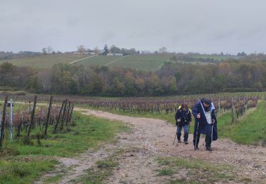
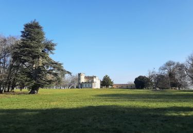
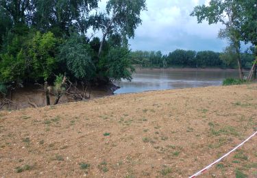
Rando entre Lestiac et Rions
Positioning
Country:
France
Region :
New Aquitaine
Department/Province :
Gironde
Municipality :
Lestiac-sur-Garonne
Location:
Unknown
Start:(Dec)
Start:(UTM)
708032 ; 4952369 (30T) N.
Comments
Trails nearby
aze
Walking
Easy
Lestiac-sur-Garonne,
New Aquitaine,
Gironde,
France
4.5 km | 4.8 km-effort
2h 34min
No
40 km de Pondensac
Walking
Difficult
Podensac,
New Aquitaine,
Gironde,
France
41 km | 52 km-effort
7h 36min
Yes
lestiac
Walking
Very easy
Lestiac-sur-Garonne,
New Aquitaine,
Gironde,
France
9.4 km | 11.3 km-effort
3h 2min
Yes
33-haux-20120527
Mountain bike
Difficult
Haux,
New Aquitaine,
Gironde,
France
32 km | 41 km-effort
3h 0min
Yes
Le Tourne
Walking
Difficult
Le Tourne,
New Aquitaine,
Gironde,
France
20 km | 27 km-effort
5h 21min
Yes
languaran
Walking
Very easy
Tabanac,
New Aquitaine,
Gironde,
France
9.8 km | 12.1 km-effort
2h 54min
Yes