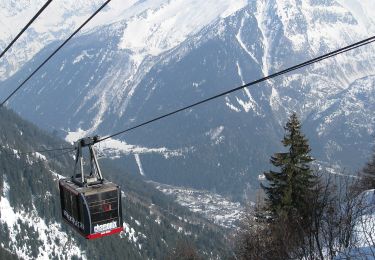
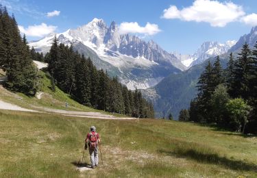
9 km | 27 km-effort
ar
gilles1955
User
Length
23 km
Max alt
2517 m
Uphill gradient
1339 m
Km-Effort
43 km
Min alt
1594 m
Downhill gradient
1977 m
Boucle
No
Creation date :
2014-12-10 00:00:00.0
Updated on :
2014-12-10 00:00:00.0
7h34
Difficulty : Unknown
FREE GPS app for hiking
About
Trail Other activity of 23 km to be discovered at Auvergne-Rhône-Alpes, Upper Savoy, Passy. This trail is proposed by gilles1955.
Positioning
Country:
France
Region :
Auvergne-Rhône-Alpes
Department/Province :
Upper Savoy
Municipality :
Passy
Location:
Unknown
Start:(Dec)
Start:(UTM)
333935 ; 5097094 (32T) N.
Comments
Trails nearby
Le Buet - Vallorcine
Walking
Difficult
(1)
Vallorcine,
Auvergne-Rhône-Alpes,
Upper Savoy,
France
7h 0min
No
2020-08-15 Marche Refuge Grenairon Le Mont Buet Les Fonts Salvagny
Walking
Very easy
Sixt-Fer-à-Cheval,
Auvergne-Rhône-Alpes,
Upper Savoy,
France
20 km | 40 km-effort
12h 24min
No
vers Finhaut
Winter sports
Medium
(1)
Vallorcine,
Auvergne-Rhône-Alpes,
Upper Savoy,
France
22 km | 40 km-effort
5h 0min
No
Le tour des Aiguilles Rouges : J1
Walking
Very difficult
Vallorcine,
Auvergne-Rhône-Alpes,
Upper Savoy,
France
16 km | 32 km-effort
5h 2min
No
Le tour des Fiz : J2
Walking
Difficult
Passy,
Auvergne-Rhône-Alpes,
Upper Savoy,
France
15.7 km | 31 km-effort
4h 41min
No
Vallorcine - Fontaine Froide - Sur le Rocher - Côte du Nant
Walking
Medium
Vallorcine,
Auvergne-Rhône-Alpes,
Upper Savoy,
France
6.3 km | 10.3 km-effort
2h 19min
Yes
Sentier des Gardes
On foot
Easy
Chamonix-Mont-Blanc,
Auvergne-Rhône-Alpes,
Upper Savoy,
France
5 km | 9.1 km-effort
2h 3min
No
Mont Buet
On foot
Medium
Vallorcine,
Auvergne-Rhône-Alpes,
Upper Savoy,
France
9.3 km | 26 km-effort
5h 54min
No
la flegere (2)juilket 2021
Walking
Difficult
Chamonix-Mont-Blanc,
Auvergne-Rhône-Alpes,
Upper Savoy,
France
7.1 km | 12 km-effort
3h 16min
No