


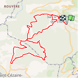

19.2 km | 32 km-effort


User


FREE GPS app for hiking
 SityTrail
IGN / Geographical institutes
SityTrail World
The world is yours!
Trail Mountain bike of 27 km to be discovered at Provence-Alpes-Côte d'Azur, Maritime Alps, Saint-Vallier-de-Thiey. This trail is proposed by Reich.
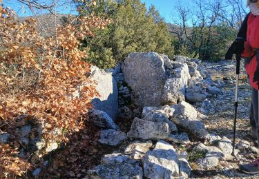
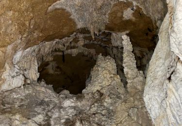
Belle descente dans le Défends (roulante, peu cassante, en sous-bois boueux à cette période mais peu pierreux). Remontée par la route.

Walking

Walking

Walking

Walking

Walking
Walking
Walking
Walking
Walking