


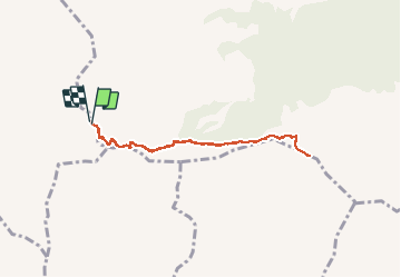

5.4 km | 9.5 km-effort

User


FREE GPS app for hiking
 SityTrail
IGN / Geographical institutes
SityTrail World
The world is yours!
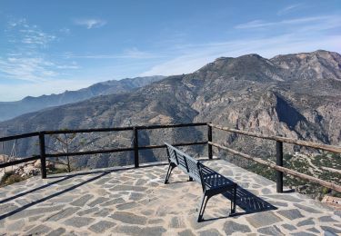
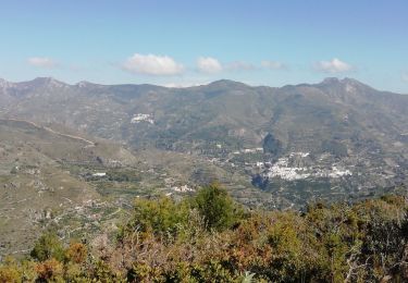
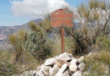
Trail Walking of 7.7 km to be discovered at Andalusia, Granada, Lentegí. This trail is proposed by jpipacific.
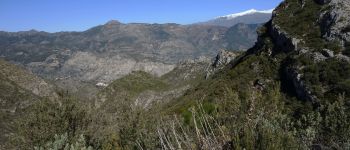
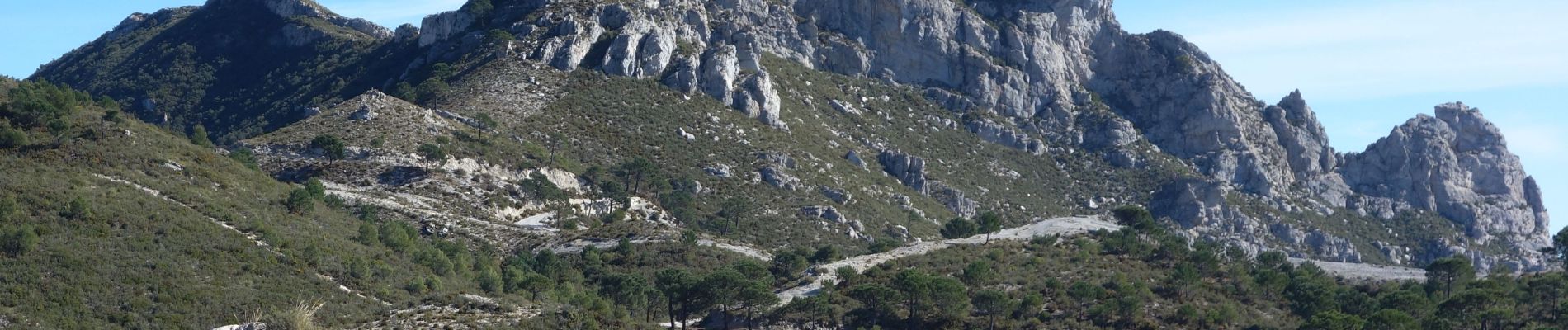
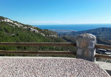
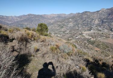
Marche sur la ligne de crête. Paysage grandiose, vue sur la Sierra Nevada et Guajar Alto ; pour finir vue sur la mer.
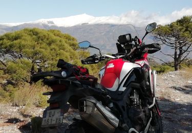
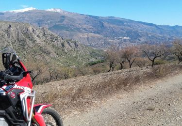
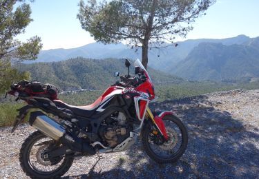
Nous avons rejoins le point de départ en moto tout terrain HONDA AFRICA TWIN CRF 1000.

Walking
Walking
Walking
Moto cross
Moto cross
Walking
Walking
On foot
Moto cross