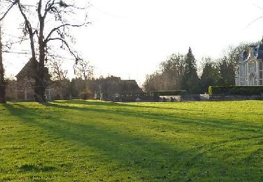
10.1 km | 12.7 km-effort
2017-06-03_20h02m27_20170603-4
patcou
User
Length
11.3 km
Max alt
136 m
Uphill gradient
145 m
Km-Effort
13.2 km
Min alt
49 m
Downhill gradient
145 m
Boucle
Yes
Creation date :
2019-02-05 18:56:33.182
Updated on :
2019-02-12 22:00:53.217
2h53
Difficulty : Difficult
FREE GPS app for hiking
About
Trail Walking of 11.3 km to be discovered at Normandy, Eure, Beuzeville. This trail is proposed by patcou.
Positioning
Country:
France
Region :
Normandy
Department/Province :
Eure
Municipality :
Beuzeville
Location:
Unknown
Start:(Dec)
Start:(UTM)
307022 ; 5468445 (31U) N.
Comments
Trails nearby
HONFLEUR 01 - Autour du Château de Saint-André d'Hébertot - NORMANDIE
Walking
Medium
Saint-André-d'Hébertot,
Normandy,
Calvados,
France
2h 30min
Yes
20180607-genneville
On foot
Very easy
(1)
Genneville,
Normandy,
Calvados,
France
22 km | 29 km-effort
Unknown
Yes
Sentier des orchidées - Boulleville
Walking
Medium
Boulleville,
Normandy,
Eure,
France
15.1 km | 18 km-effort
3h 30min
Yes
genneville jmp
Walking
Medium
Genneville,
Normandy,
Calvados,
France
8.7 km | 10.5 km-effort
2h 23min
No
St Maclou
Walking
Very easy
Boulleville,
Normandy,
Eure,
France
13.6 km | 16.1 km-effort
3h 22min
Yes
la lande St léger 4 paroisses
Walking
Easy
La Lande-Saint-Léger,
Normandy,
Eure,
France
5.3 km | 5.8 km-effort
1h 14min
No
Beuzeville la Morelle
Walking
Medium
Beuzeville,
Normandy,
Eure,
France
9.5 km | 11.2 km-effort
2h 33min
Yes
BOULLEVILLE 13062023
Walking
Difficult
Boulleville,
Normandy,
Eure,
France
10.6 km | 12.2 km-effort
2h 45min
Yes
St Andre d'Hebzrtot
Walking
Medium
Beuzeville,
Normandy,
Eure,
France
13.3 km | 16.2 km-effort
2h 6min
Yes
rando sympa un peu trop de route