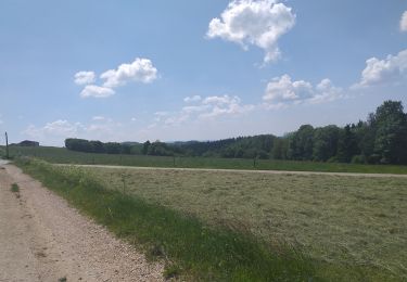
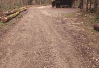
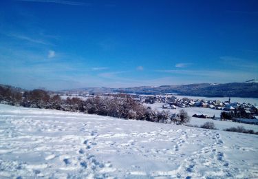
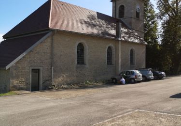
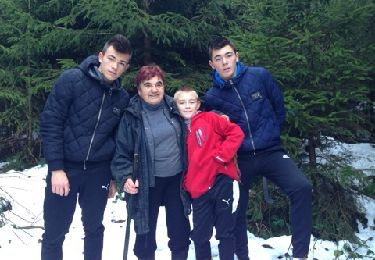
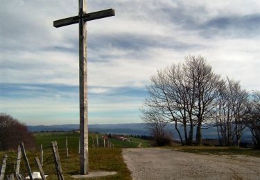
Trail Snowshoes Les Premiers-Sapins - rando raquettes Nods  - Photo
 mig26
mig26

User

© OpenStreetMap contributors
Length
Length
11.5 km
Boucle
Boucle
Yes
Creation date :
2019-02-03 10:30:29.697
Updated on :
2019-02-03 16:06:02.632

(0 Reviews)

Snowshoes
Snowshoes
4h26
Difficulty : Very easy

Scan this QR Code to open this trail in the SityTrail application

FREE GPS app for hiking

Logo SityTrail SityTrail

IGN / Geographical institutes

Download SityTrail from the App Store Download SityTrail from Google Play

Logo SityTrail SityTrail World

The world is yours!

Download SityTrail from the App Store Download SityTrail from Google Play Download SityTrail on Huawei AppGallery

About

Trail Snowshoes of 11.5 km to be discovered at Bourgogne-Franche-Comté, Doubs, Les Premiers-Sapins. This trail is proposed by mig26.

Elevation profile

Photos

Positioning

Country:
France
Region :
Bourgogne-Franche-Comté
Department/Province :
Doubs
Municipality :
Les Premiers-Sapins
Location:
Unknown
Start:(UTM)
298589 ; 5218571 (32T) N.

Trails nearby

Trail Walking Les Premiers-Sapins - chasnans - Photo
Walking
eltonnermou

Walking

Very easy
Les Premiers-Sapins, Bourgogne-Franche-Comté, Doubs, France
7.9 km | 9.9 km-effort
1h 35min
Yes
Trail Walking Fallerans - Fallerans - Guyans durnes  - Photo
Walking
eltonnermou

Walking

Easy
Fallerans, Bourgogne-Franche-Comté, Doubs, France
18 km | 21 km-effort
2h 49min
Yes
Trail Snowshoes Arc-sous-Cicon - ARC SOUS CICON
Snowshoes
legios84

Snowshoes

Easy
Arc-sous-Cicon, Bourgogne-Franche-Comté, Doubs, France
9.4 km | 12.9 km-effort
2h 41min
Yes
Trail Walking Les Premiers-Sapins - hautepierre - Photo
Walking
Delmasjacques

Walking

Very easy
(1)
Les Premiers-Sapins, Bourgogne-Franche-Comté, Doubs, France
3.6 km | 5.9 km-effort
1h 59min
Yes
Trail Walking Les Premiers-Sapins - 2013-12-21(Charmeux) - Photo
Walking
patricerouge@free.fr

Walking

Easy
Les Premiers-Sapins, Bourgogne-Franche-Comté, Doubs, France
4.8 km | 6.5 km-effort
1h 20min
No
Trail Walking Arc-sous-Cicon - Le Crêt Monniot (1141 m) depuis Les Cordiers - Photo
Walking
tracegps

Walking

Medium
Arc-sous-Cicon, Bourgogne-Franche-Comté, Doubs, France
11.3 km | 16.2 km-effort
3h 30min
Yes
Trail Mountain bike Aubonne - Balade délaçons - Photo
Mountain bike
CTR

Mountain bike

Very difficult
Aubonne, Bourgogne-Franche-Comté, Doubs, France
41 km | 56 km-effort
3h 18min
Yes
Trail Walking Arc-sous-Cicon - moniot - Photo
Walking
GUYOTdaniel

Walking

Very easy
Arc-sous-Cicon, Bourgogne-Franche-Comté, Doubs, France
61 km | 76 km-effort
5h 27min
No
Trail Walking Arc-sous-Cicon - arc sous cicon, plaine - Photo
Walking
eltonnermou

Walking

Very easy
Arc-sous-Cicon, Bourgogne-Franche-Comté, Doubs, France
10.8 km | 13.7 km-effort
1h 39min
Yes


Close
My subscriptions