


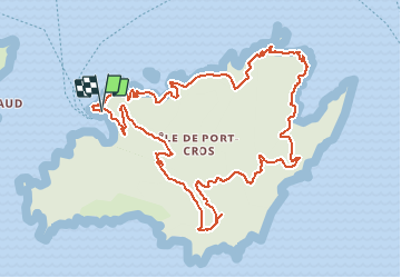

9.9 km | 14.4 km-effort


User


FREE GPS app for hiking
 SityTrail
IGN / Geographical institutes
SityTrail World
The world is yours!
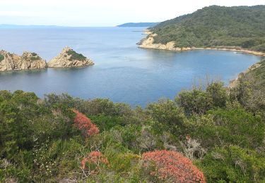
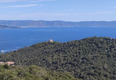
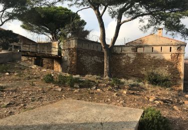
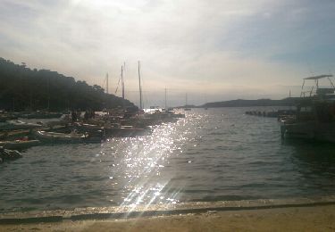
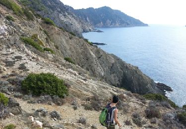
Trail Walking of 13.3 km to be discovered at Provence-Alpes-Côte d'Azur, Var, Hyères. This trail is proposed by newtom67.
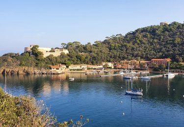
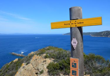
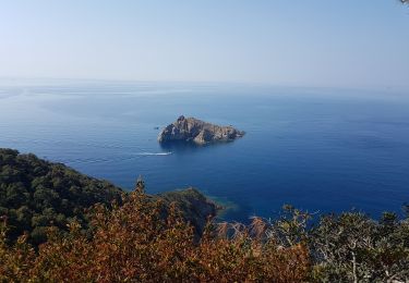
Ballade le long de la côte du port vers le sentier sous-marin en face du Rocher de la Rascasse. Poursuite vert Port Man en faisant le tour de l'île. Retour par la route des forts. Le circuit passe par les 4 forts de Port-Cros. (Fort du Moulin,
Walking
Walking
Walking
Walking
Walking

Walking
Walking
Walking
Walking