


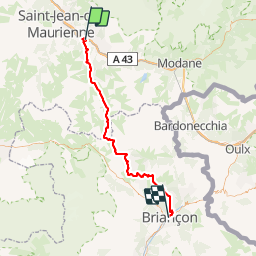

14.4 km | 27 km-effort


User


FREE GPS app for hiking
 SityTrail
IGN / Geographical institutes
SityTrail World
The world is yours!
Trail Trail of 70 km to be discovered at Auvergne-Rhône-Alpes, Savoy, Saint-Julien-Mont-Denis. This trail is proposed by Hyperion.
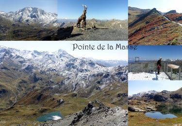
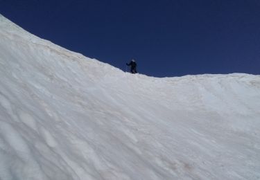
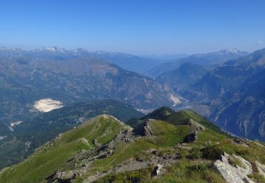
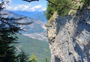
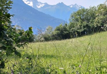
Traversée sous Les Karellis, par Valloire et la chaîne des Cerces dont le Grand Aréa (2869m)
Walking
Walking
Snowshoes
Touring skiing
Walking

Snowshoes
Walking
Walking

Trail