25 km | 28 km-effort
Activity
neitag61
User
Length
12.7 km
Max alt
170 m
Uphill gradient
114 m
Km-Effort
14.2 km
Min alt
126 m
Downhill gradient
114 m
Boucle
Yes
Creation date :
2019-01-15 21:49:35.332
Updated on :
2019-01-15 21:51:49.367
3h08
Difficulty : Difficult
FREE GPS app for hiking
About
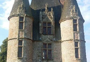
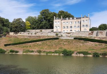
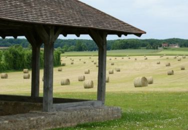
Trail Walking of 12.7 km to be discovered at Normandy, Orne, Condé-sur-Sarthe. This trail is proposed by neitag61.
Positioning
Country:
France
Region :
Normandy
Department/Province :
Orne
Municipality :
Condé-sur-Sarthe
Location:
Unknown
Start:(Dec)
Start:(UTM)
280908 ; 5368940 (31U) N.
Comments
Trails nearby
Montée à la croix de Médavy par route et descente par GR et chemins
Mountain bike
Easy
(1)
Alençon,
Normandy,
Orne,
France
33 km | 40 km-effort
1h 34min
Yes
Le bois de vaux
Mountain bike
Medium
(1)
Saint-Germain-du-Corbéis,
Normandy,
Orne,
France
35 km | 39 km-effort
2h 16min
Yes
chapelle St Evroult/château de Vaux
Mountain bike
Medium
(1)
Saint-Germain-du-Corbéis,
Normandy,
Orne,
France
34 km | 39 km-effort
2h 8min
Yes
Alençon, Héloup, Gesnes le Gandelin, Arçonnay, Alençon
Cycle
Medium
Alençon,
Normandy,
Orne,
France
30 km | 33 km-effort
1h 10min
Yes
La véloscénie - Alencon - Madré - Tronçon 1
Bicycle tourism
Very difficult
Alençon,
Normandy,
Orne,
France
40 km | 45 km-effort
Unknown
No
Activity
Bicycle tourism
Very difficult
Alençon,
Normandy,
Orne,
France
155 km | 173 km-effort
Unknown
No
St Germain du Corbéis
Walking
Medium
Saint-Germain-du-Corbéis,
Normandy,
Orne,
France
6.4 km | 7.9 km-effort
1h 48min
Yes