


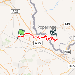

6.4 km | 8.4 km-effort


RCM ... l'esprit rando à vélo et à pied !


FREE GPS app for hiking
 SityTrail
IGN / Geographical institutes
SityTrail World
The world is yours!
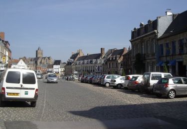
Trail On foot of 51 km to be discovered at Hauts-de-France, Nord, Bavinchove. This trail is proposed by Randonneur Club Marcquois.
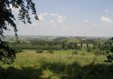
Randonnée de deux jours permettant de profiter de 10 monts des Flandres pour un cumulé de 1000 m environ. La Flandre n'est pas si plate que l'on présume ...
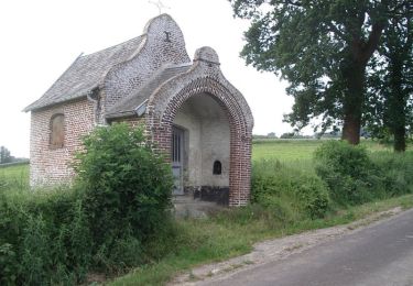
Walking
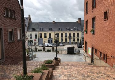
Walking
Running
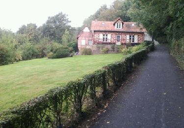
Walking
Walking
Walking
Walking
Walking
Walking