


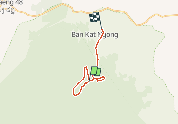

17.5 km | 18.9 km-effort


User GUIDE


FREE GPS app for hiking
 SityTrail
IGN / Geographical institutes
SityTrail World
The world is yours!
Trail Walking of 12.9 km to be discovered at Champasak Province, Pathouphone District. This trail is proposed by Kargil.
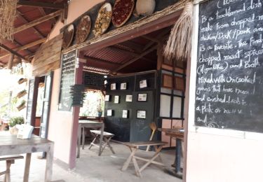
Dernier jours trek de 3 jours en campement dans la forêt.
Fait avec l'agence Green Discovery de Paksé et un guide du village.
Superbe et sportif hors du temps.
Walking