


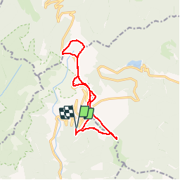

10.5 km | 17.7 km-effort

User


FREE GPS app for hiking
 SityTrail
IGN / Geographical institutes
SityTrail World
The world is yours!
Trail Walking of 12.6 km to be discovered at Bourgogne-Franche-Comté, Territoire-de-Belfort, Lepuix. This trail is proposed by benoit747.
Départ dans l'avant dernière épingle à gauche lors de la montée
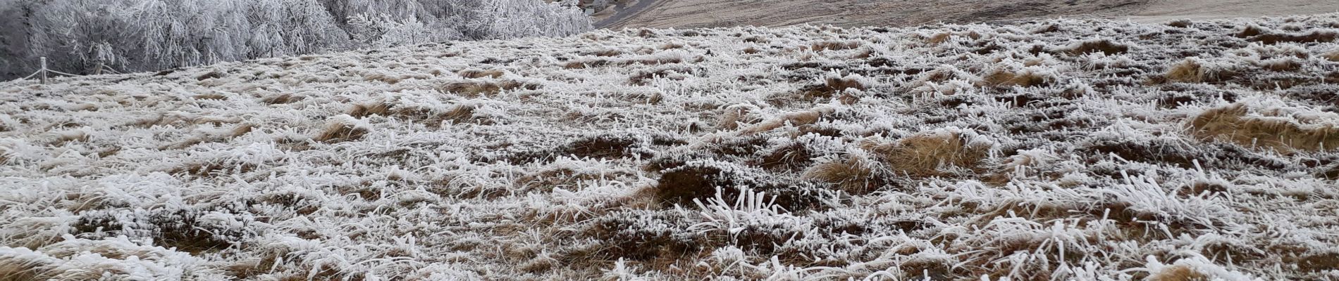
Sympathique : possibilité de manger dans une auberge du sommet


Walking

Walking

Walking

Walking

Walking

Walking

Walking

Walking

Walking