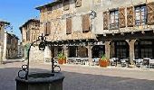
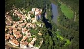
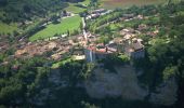
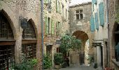
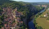
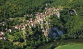
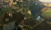
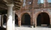
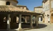
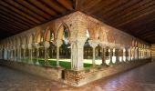
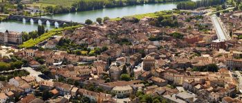
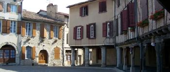
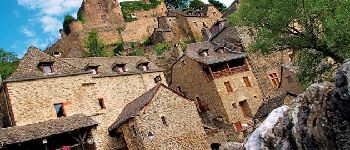
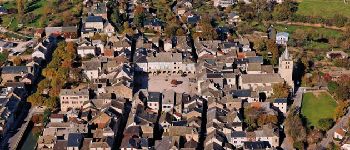
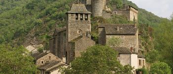
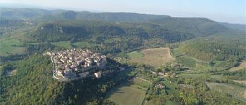
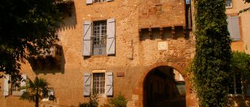
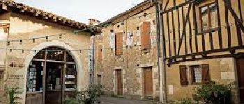
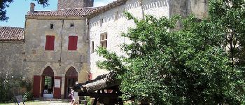
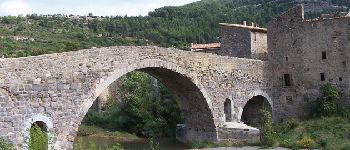
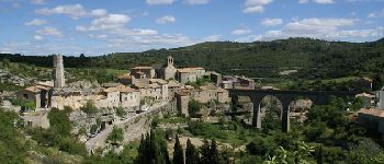
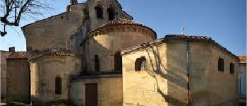
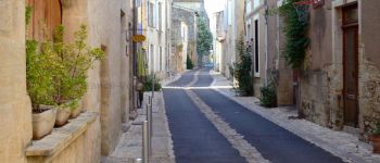
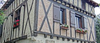
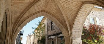
Trail Camping car Manosque - Le canal du midi et plus beaux villages de France - Photo

Le canal du midi et plus beaux villages de France

 lviallet
lviallet

User

© OpenStreetMap contributors
Length
Length
1582 km
Max alt
Max alt
862 m
Uphill gradient
Uphill gradient
38065 m
Km-Effort
Km-Effort  
2089 km
Min alt
Min alt
-8 m
Downhill gradient
Downhill gradient
38064 m
Boucle
Boucle
Yes
Creation date :
2018-12-15 15:00:53.487
Updated on :
2019-06-09 16:29:57.919

(0 Reviews)

Camping car
Camping car
--
Difficulty : Very easy

Scan this QR Code to open this trail in the SityTrail application

FREE GPS app for hiking

Logo SityTrail SityTrail

IGN / Geographical institutes

Download SityTrail from the App Store Download SityTrail from Google Play

Logo SityTrail SityTrail World

The world is yours!

Download SityTrail from the App Store Download SityTrail from Google Play Download SityTrail on Huawei AppGallery

About

Trail Camping car of 1582 km to be discovered at Provence-Alpes-Côte d'Azur, Alpes-de-Haute-Provence, Manosque. This trail is proposed by lviallet.

Description

Trajet camping Car: Canal du midi (à vélo)   Plus beaux villages de France

Elevation profile

Photos

86 photos in total. Please click on a photo to see them all in the gallery.

Points of interest

Point of interest Bruges - Camping Bordeaux - Photo
lviallet
Point of interest La Réole - Camping municipal - Photo
lviallet
Point of interest Saint-Antonin-Noble-Val - Saint Antonin Noble Val - Photo
lviallet
SAINT-ANTONIN-NOBLE-VAL 
Point of interest Cahuzac-sur-Vère - Château de Mayragues - Photo
lviallet
CAHUZAC-SUR-VÈRE 
Point of interest Castelnau-de-Montmiral - Castelnau-de-Montmiral - Photo
lviallet
CASTELNAU-DE-MONTMIRAL 
Point of interest Bruniquel - Bruniquel - Photo
lviallet
BRUNIQUEL 
Point of interest Lauzerte - Lauzerte - Photo
lviallet
LAUZERTE 
Point of interest Saint-Cirq-Lapopie - Saint-Cirq-Lapopie - Photo
lviallet
SAINT-CIRQ-LAPOPIE 
Point of interest Auvillar - Auvillar - Photo
lviallet
AUVILLAR 
Point of interest Moissac - Moissac - Photo
lviallet
MOISSAC 
Point of interest Lautrec - Lautrec - Photo
lviallet
LAUTREC 
Point of interest Belcastel - Belcastel - Photo
lviallet
BELCASTEL 
Point of interest Sauveterre-de-Rouergue - Sauveterre de Rouergue - Photo
lviallet
SAUVETERRE-DE-ROUERGUE 
Point of interest Brousse-le-Château - Brousse Le Château - Photo
lviallet
BROUSSE-LE-CHÂTEAU 
Point of interest Najac - Najac - Photo
lviallet
NAJAC 
Point of interest Puycelsi - Puycelsi - Photo
lviallet
PUYCELSI 
Point of interest Monestiés - Monestiés - Photo
lviallet
MONESTIÉS 
Point of interest Sarrant - Sarrant - Photo
lviallet
SARRANT 
Point of interest Larressingle - Larressingle - Photo
lviallet
LARRESSINGLE 
Point of interest Fourcès - Fourcès - Photo
lviallet
FOURCÈS 
Point of interest Lagrasse - Lagrasse - Photo
lviallet
LAGRASSE 
Point of interest Minerve - Minerve - Photo
lviallet
MINERVE 
Point of interest Rions - Rions - Photo
lviallet
RIONS 
Point of interest Saint-Macaire - St-Macaire - Photo
lviallet
SAINT-MACAIRE 
Point of interest Montréal - Montréal du Gers - Photo
lviallet
Point of interest Saint-Émilion - France Passion Mme Sautereau - Photo
lviallet
Point of interest Saint-Émilion - Rue Lasserre, porte - Photo
lviallet
SAINT-ÉMILION 
Point of interest Penne-d'Agenais - Penne d'Agenais - Photo
lviallet
PENNE-D'AGENAIS 
Point of interest Pujols - Pujols-le-Haut - Photo
lviallet
Point of interest Valflaunès - AirCC Gourdou - Photo
lviallet
VALFLAUNÈS 
Point of interest Monflanquin - Monflanquin - Photo
lviallet
MONFLANQUIN 
Point of interest Gujan-Mestras - Aire communale Arcachon - Photo
lviallet
Point of interest Toulouse - Camping Toulouse - Photo
lviallet
Point of interest Deyme - Camping sud Toulouse - Photo
lviallet
Point of interest Avignonet-Lauragais - Avignonet - Camping - Photo
lviallet
AVIGNONET-LAURAGAIS 
Point of interest Montréal - Montréal - France Passion - Photo
lviallet

Positioning

Country:
France
Region :
Provence-Alpes-Côte d'Azur
Department/Province :
Alpes-de-Haute-Provence
Municipality :
Manosque
Location:
Unknown
Start:(UTM)
725488 ; 4856485 (31T) N.

Trails nearby

Trail Walking Manosque - Le Val des Chats, avant le col de la Mort d'Imbert. - Photo
Walking
liocol

Walking

Easy
(2)
Manosque, Provence-Alpes-Côte d'Azur, Alpes-de-Haute-Provence, France
4.7 km | 6.5 km-effort
1h 23min
Yes
Trail Walking Manosque - MANOSQUE VOLX PAR LES COLLINES O S - Photo
Walking
GUIDE
RobinMicheline

Walking

Difficult
Manosque, Provence-Alpes-Côte d'Azur, Alpes-de-Haute-Provence, France
17.7 km | 24 km-effort
4h 15min
Yes
Trail Walking Manosque - Le tour de la borie '' pain de sucre ''  - Photo
Walking
PITOUSSAINT

Walking

Easy
(1)
Manosque, Provence-Alpes-Côte d'Azur, Alpes-de-Haute-Provence, France
5.1 km | 7.4 km-effort
1h 43min
Yes
Trail Walking Manosque - Quartier des Espels, départ Piscine. - Photo
Walking
liocol

Walking

Easy
(1)
Manosque, Provence-Alpes-Côte d'Azur, Alpes-de-Haute-Provence, France
4.8 km | 7.3 km-effort
1h 50min
Yes
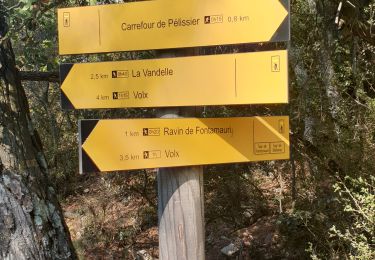
Trail Trail Volx - volx - Photo
Trail
francislassauce

Trail

Difficult
Volx, Provence-Alpes-Côte d'Azur, Alpes-de-Haute-Provence, France
9.2 km | 14.7 km-effort
1h 43min
Yes
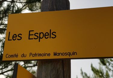
Trail Walking Manosque - 1Les speels, le relais, le pain de sucre. Depart Crématoriome. - Photo
Walking
liocol

Walking

Medium
(1)
Manosque, Provence-Alpes-Côte d'Azur, Alpes-de-Haute-Provence, France
6.1 km | 9.7 km-effort
2h 4min
Yes
Trail Walking Manosque - 1Gaude, boucle de Montaigu.  - Photo
Walking
liocol

Walking

Medium
Manosque, Provence-Alpes-Côte d'Azur, Alpes-de-Haute-Provence, France
6.6 km | 10.2 km-effort
2h 7min
Yes
Trail Walking Manosque - 1Pélicier, chemin des collines, le Chateau via l'Ausselet - Photo
Walking
liocol

Walking

Easy
Manosque, Provence-Alpes-Côte d'Azur, Alpes-de-Haute-Provence, France
7.1 km | 9.7 km-effort
2h 9min
Yes
Trail Walking Valensole - 1Chapelle Sainte Madeleine, Villedieu. - Photo
Walking
liocol

Walking

Medium
Valensole, Provence-Alpes-Côte d'Azur, Alpes-de-Haute-Provence, France
8 km | 10.8 km-effort
2h 28min
Yes


Close
My subscriptions