


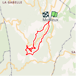

11.9 km | 19.1 km-effort


User


FREE GPS app for hiking
 SityTrail
IGN / Geographical institutes
SityTrail World
The world is yours!
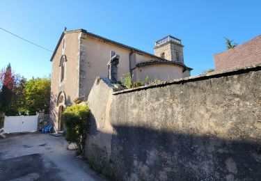
Trail On foot of 12.5 km to be discovered at Provence-Alpes-Côte d'Azur, Vaucluse, Monieux. This trail is proposed by olivierchauchoy.
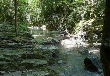
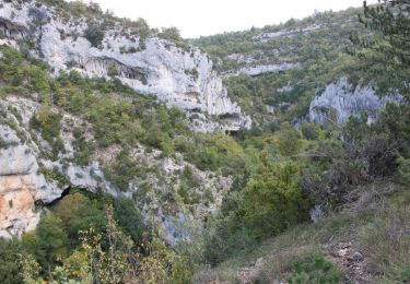
La Nesque prend sa source à Aurel sur le flanc du Mont Ventoux.
Elle se jette dans la Sorgue peu avant Avignon.
Le nom de Nesque dérive d'Annesca divinité romaine representée par une femme porteuse d'eau et d'épis de blé; symbole de vie richesse et abondance.
La Nesque alimente le système karstique de Fontaine du Vaucluse.
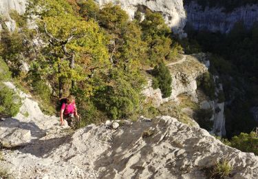
De nombreux abris sous roche sont visibles dans les falaises. Ces abris sont dénommés en Provence des baus (baous) ou baumes.
L'une d'elle est devenue célèbre après la découverte d'un campement du Néandertal (baume d'aubusier).
Walking
Walking
Walking
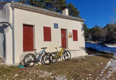
Mountain bike
Walking
Walking
Walking
Walking
Walking