


16.5 km | 24 km-effort

être à l'heure


FREE GPS app for hiking
 SityTrail
IGN / Geographical institutes
SityTrail World
The world is yours!
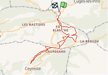
Trail Mountain bike of 21 km to be discovered at Provence-Alpes-Côte d'Azur, Bouches-du-Rhône, Cuges-les-Pins. This trail is proposed by JeudaÏ.
Une très belle descente sur un single ombrgé dans le vallon du Pélengarri.
Biensur la montée qui va avec§

Walking

Walking

Walking

Walking

Walking

Walking

Walking

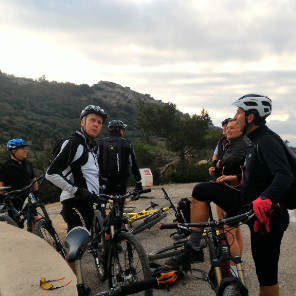
Mountain bike

Walking